
What is a Satellite Deforestation Alert?
A satellite deforestation alert is an automated notification system that uses Earth observation data to detect forest loss in near-real time, triggering immediate enforcement actions and supply chain investigations. These AI-powered monitoring systems achieve over 95% accuracy in identifying deforestation events within 24 hours of satellite acquisition, revolutionizing environmental protection by reducing response times from weeks to hours. The technology combines convolutional neural networks (CNNs) and vision transformers to process millions of square miles of terrain data weekly, detecting subtle canopy disruptions invisible to human analysts.
The Technology Behind Deforestation Detection
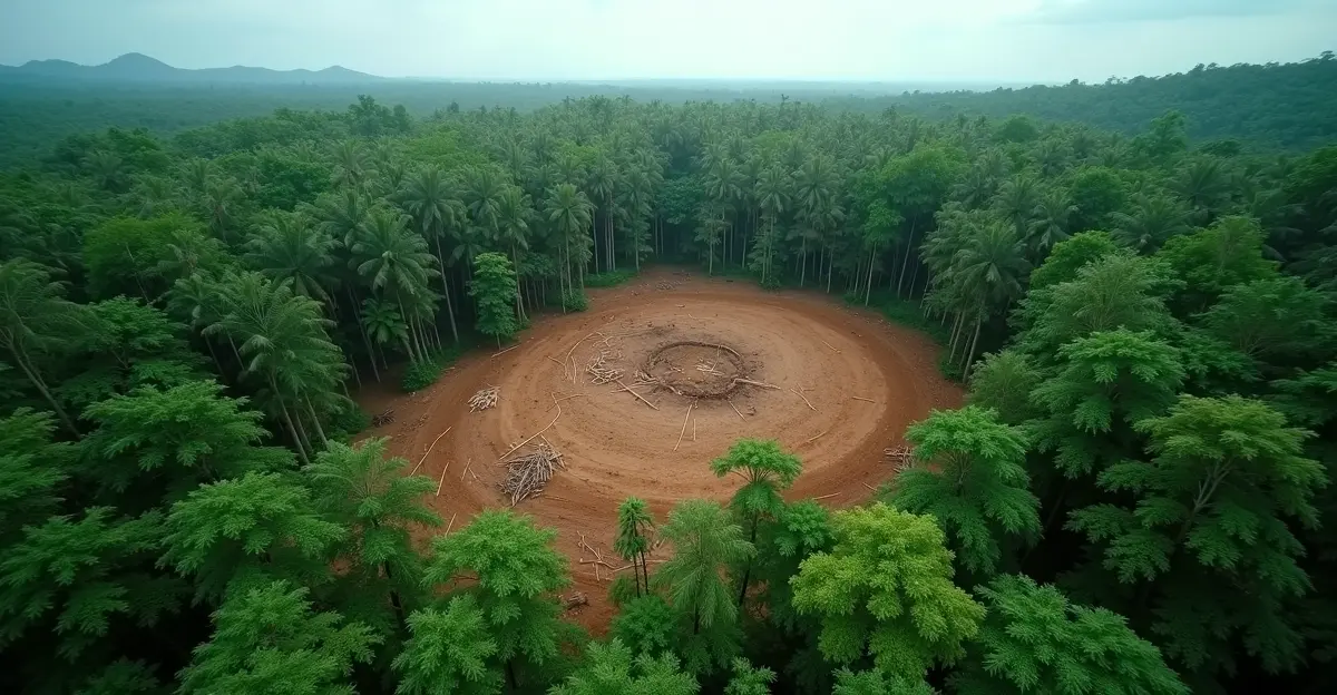
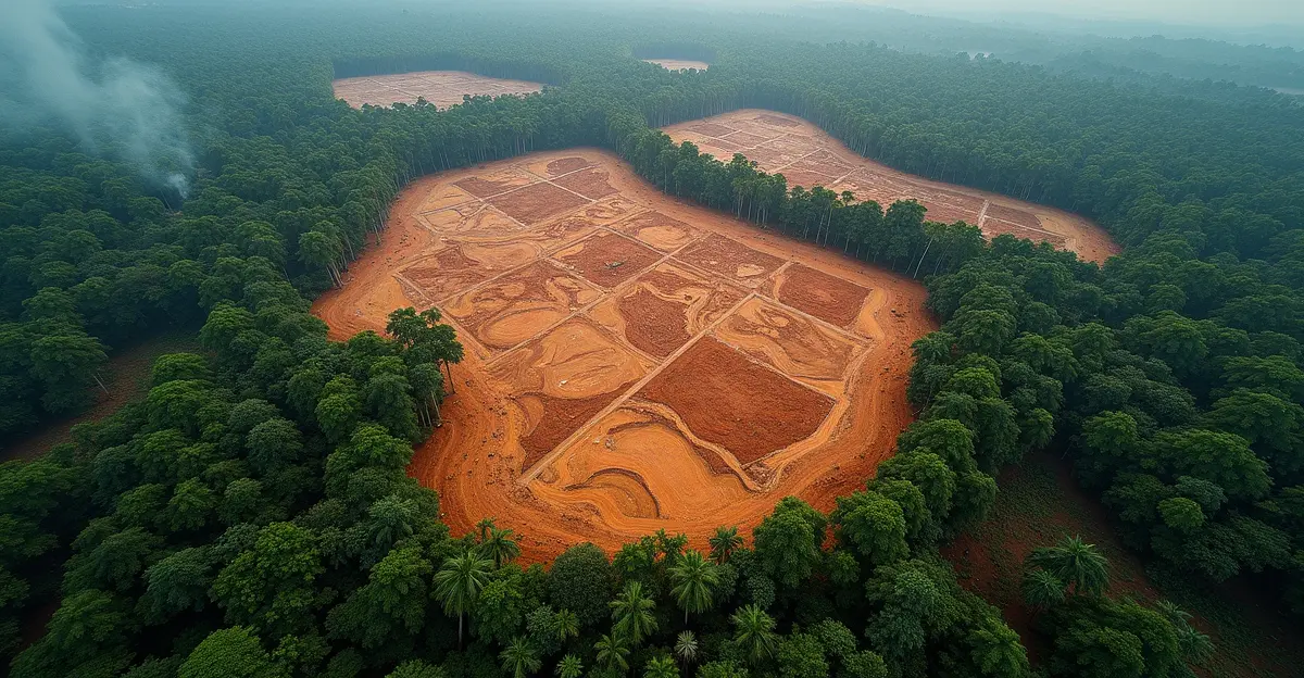
Modern satellite monitoring systems leverage multiple data sources including Sentinel-1, Sentinel-2, and Landsat satellites to create persistent surveillance networks. According to recent analysis, these platforms provide updates every 6 hours, enabling authorities to intercept illegal operations with unprecedented speed. In Indonesia's rainforests, the technology maps illegal logging faster than ground patrols can mobilize, identifying logging roads as narrow as 10 feet. The systems have helped Brazilian authorities intercept 23 illegal operations in one quarter alone - a 68% improvement over previous years.
How AI Enhances Detection Accuracy
Vision transformers outperform traditional CNNs by 12% in detecting small-scale deforestation patterns, achieving 94% precision in identifying tree cover changes. These AI systems analyze land changes within hours rather than weeks, processing satellite imagery with distributed systems featuring edge processing capabilities. Real-time alerts now reach authorities 80% faster than previous methods, enabling rapid intervention that protects an estimated 10 million hectares of forest annually.
EU Deforestation Regulation: The Compliance Catalyst
The European Union's Deforestation Regulation (EUDR) has become a major driver for satellite monitoring adoption. The regulation, which applies from December 30, 2026 for medium/large operators, mandates that seven commodities (cattle, cocoa, coffee, oil palm, rubber, soya, wood) entering the EU market must be deforestation-free after December 31, 2020. Companies face fines up to 4% of EU-wide turnover for non-compliance, creating a powerful incentive for supply chain transparency.
Supply Chain Investigations Intensify
Satellite alerts are triggering unprecedented supply chain scrutiny, with deforestation representing a staggering $2.7 trillion risk hidden within corporate supply chains. A coalition of investors managing over $3 trillion in assets is pushing for urgent action, recognizing deforestation as a major financial risk threatening market stability. The EU carbon border tax has established similar compliance frameworks, but deforestation monitoring presents unique technical challenges requiring geolocation tracking of individual production plots.
Enforcement Actions and Legal Implications
Brazil's Environment Minister Marina Silva recently announced that Amazon deforestation is on track to reach the lowest level since record-keeping began in 1988, attributing the decline to strengthened enforcement enabled by satellite monitoring. Data from Brazil's National Institute for Space Research (INPE) shows forest clearing from August 2025 to January 2026 fell to 1,325 square kilometers, the lowest for that period since 2014. This represents a significant achievement in global environmental policy implementation.
Corporate Due Diligence Requirements
Under EUDR, operators must establish comprehensive due diligence systems covering information collection, risk assessment, and risk mitigation, then submit statements via the EUDR information system. The amendments introduced simplified regimes for micro/small primary operators and removed certain paper products from scope. However, the core requirement for geolocation data remains, forcing companies to integrate satellite monitoring into their supply chain management systems.
Financial Risks and Investor Pressure
The financial implications are staggering: deforestation in 2024 alone has cost businesses billions, with supply chain exposures tied to commodities risking $2.7 trillion. Investor groups are calling for halting and reversing deforestation by 2030, while forest finance for nature-based solutions doubled to $23.5 billion in 2025. Companies face both risks from regulatory fines and opportunities through sustainable supply chains, which offer reduced compliance costs, access to green funds, and enhanced brand loyalty.
The $3 Trillion Investor Coalition
A $3 trillion coalition of investors is pushing for policies that integrate forest protection into climate goals ahead of COP30 in Brazil. As one sustainability analyst noted, "Early movers are positioned to shape future regulations while laggards face financial isolation." This investor pressure mirrors concerns raised during the 2025 economic crisis about systemic environmental risks.
Future Outlook and Technological Advancements
Upcoming missions like Sentinel-NextGeneration and Copernicus expansion missions will enhance monitoring capabilities, addressing current limitations in detecting small-scale deforestation. Tools like FAO's WHISP offer preliminary due diligence support, while platforms like Google Earth Engine provide access to deforestation alert datasets including RADD Alerts (using Sentinel-1 SAR data) and GLAD Alerts (using Landsat data). The integration of these technologies represents a significant advancement in artificial intelligence regulation applications.
Frequently Asked Questions
What is the EU Deforestation Regulation (EUDR)?
The EUDR is a landmark regulation requiring that seven key commodities entering the EU market must be deforestation-free after December 31, 2020. It applies from December 2026 for large operators and includes fines up to 4% of EU-wide turnover for non-compliance.
How accurate are satellite deforestation alerts?
Modern AI-powered systems achieve over 95% accuracy in detecting deforestation events within 24 hours of satellite acquisition, with vision transformers outperforming traditional methods by 12% in identifying small-scale patterns.
What financial risks does deforestation pose to companies?
Deforestation represents a $2.7 trillion risk hidden in corporate supply chains, including regulatory fines, supply disruptions, legal battles, and reputational damage that can impact market valuation.
How are investors responding to deforestation risks?
A $3 trillion coalition of investors is pushing for urgent action, recognizing deforestation as a major financial risk and calling for policies that integrate forest protection into climate goals and investment criteria.
What technologies are used in deforestation monitoring?
Systems combine satellite data from Sentinel-1, Sentinel-2, and Landsat with AI algorithms including convolutional neural networks and vision transformers to process imagery and generate real-time alerts.
Sources
Climate Cosmos: The $3 Trillion Deforestation Alert
EU Commission: EUDR Implementation Details


Follow Discussion