Satellite Tracks New Deforestation Hotspots: Remote Sensing Enforcement and Supply Chain Pressure
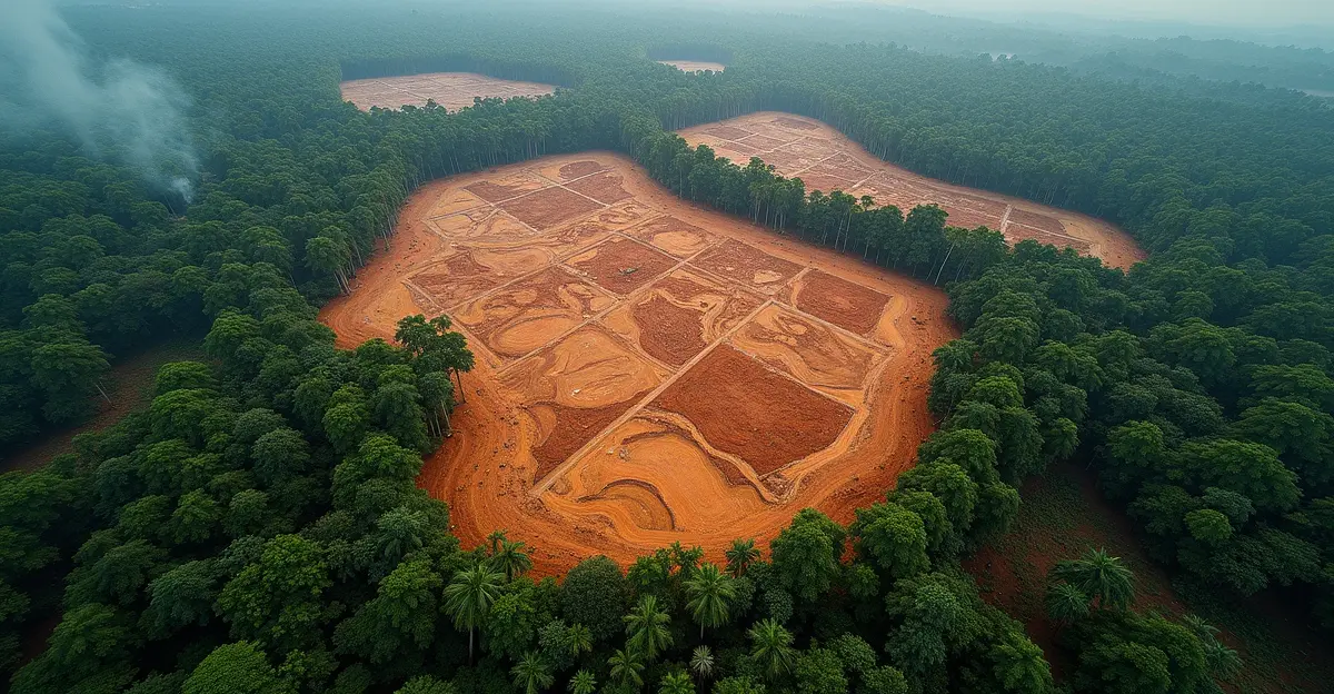
Advanced satellite monitoring systems are revealing alarming new deforestation hotspots across tropical regions, triggering unprecedented enforcement responses and intensifying supply chain pressure on global commodity traders. The EU Deforestation Regulation (EUDR), which came into full effect in 2025, has fundamentally transformed how companies must track and verify their supply chains, with satellite data becoming the primary tool for compliance and enforcement. According to recent analysis from Global Forest Watch, deforestation reached 1.7 million hectares in 2024 alone, representing a 34% increase from 2023 levels, with Brazil accounting for 54.7% of this loss.
What is Satellite Deforestation Monitoring?
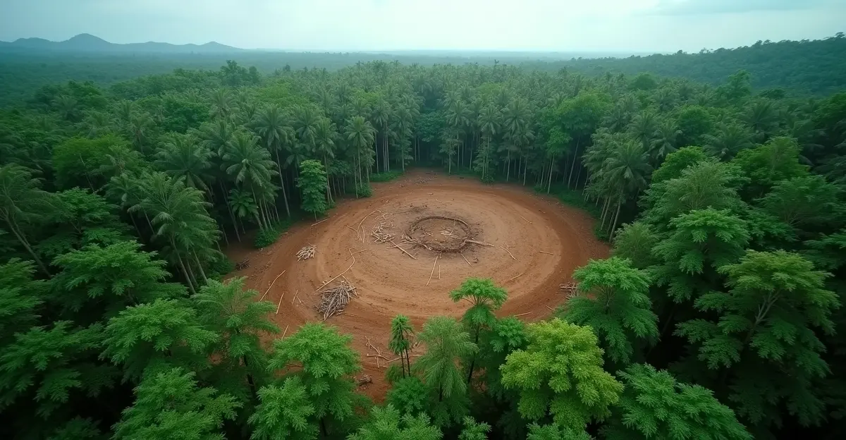
Satellite deforestation monitoring uses remote sensing technologies to detect and track forest loss in near-real time. These systems combine optical and radar satellite imagery with artificial intelligence algorithms to identify clearing activities, often within days of occurrence. The technology has evolved from basic land cover classification to sophisticated systems that can now identify specific deforestation drivers like agriculture, mining, or logging. As Global Forest Watch explains, their GLAD (Global Land Analysis & Discovery) alert system provides weekly updates on tropical forest cover loss, enabling rapid response to emerging threats.
New Deforestation Hotspots Identified
The latest satellite data reveals concerning patterns across multiple regions. Brazil continues to dominate deforestation statistics, but new hotspots are emerging in unexpected areas:
Amazon Basin Expansion
While Brazil accounted for 54.7% of Amazon deforestation in 2024, Bolivia emerged as a significant concern with 27.3% of the region's loss. The MAAP report documented record-breaking fires impacting 2.8 million hectares of primary forest, shattering previous records from 2016. "The combined impact of deforestation and fires affected 4.5 million hectares of primary forest in 2024, the highest on record," according to monitoring data. Fire hotspots concentrated in soy and cattle frontiers in southeast Brazil and Bolivia, while deforestation hotspots linked to agriculture and gold mining spread across multiple Amazon countries.
Cerrado Biome Crisis
Brazil's Cerrado biome shows proportionately higher deforestation rates than the Amazon, with Barreiras municipality in Bahia state experiencing the highest rates. A March 2024 report by Mighty Earth identified 30,031 hectares of deforestation alerts in the Amazon despite the Amazon Soy Moratorium, highlighting enforcement gaps. The supply chain due diligence requirements under EUDR are forcing companies to scrutinize these regions more carefully than ever before.
Indonesian Peatland Concerns
Indonesia remains a primary tropical deforestation hotspot, with unique concerns around peatland forest destruction. As noted in VoxDev analysis, peatland clearing releases significantly more carbon than clearing non-peatland forests due to deep organic matter layers. Palm oil production now occupies 15% of Indonesia and Malaysia's land area, driving ongoing forest conversion despite regulatory efforts.
Remote Sensing Enforcement Technologies
The enforcement landscape has transformed with new technological capabilities:
AI-Powered Detection Systems
A novel framework combining YOLOv8 object detection with LangChain-based Agentic AI enables real-time deforestation monitoring with unprecedented accuracy. According to Scientific Reports, this system uses YOLOv8 to rapidly identify deforestation indicators like tree stumps, logging machinery, and unauthorized human presence in satellite and drone imagery. Experiments show training losses reduced by over 50%, with recall improvements up to 24% compared to baseline models.
Multi-Sensor Integration
Modern monitoring combines multiple technologies for comprehensive coverage:
- Optical Satellites: Provide high-resolution visual imagery for detailed analysis
- Synthetic Aperture Radar (SAR): Penetrates cloud cover and works in all weather conditions
- LiDAR Systems: Offer 3D forest structure analysis for biomass estimation
- Multispectral Sensors: Assess vegetation health through spectral analysis
Causal Analysis Advancements
The newest innovation comes from Global Forest Watch's AI-powered alert system that identifies specific causes behind deforestation events. The system classifies alerts into 10 different drivers including large-scale agriculture, small-scale agriculture, mining, road construction, and wildfires. Currently focused on the Amazon Rainforest, Congo Basin, and Indonesia, this technology analyzes landscape features like elevation, slope, and clearing patterns to determine causes, helping stakeholders make better decisions about resource allocation.
Supply Chain Pressure and EUDR Compliance
The European Union deforestation regulation has created seismic shifts in global commodity markets. Companies dealing with cattle, cocoa, coffee, palm oil, rubber, soy, and wood must implement due diligence systems to trace their supply chains back to the plot of land where commodities were produced. The European Commission published new guidance in March 2025 detailing how obligations apply based on company type, size, and position in the supply chain.
Key Compliance Requirements:
- Geolocation Data Collection: Companies must collect precise coordinates for production areas
- Deforestation-Free Verification: Products must be verified as not linked to deforestation after December 31, 2020
- Risk Assessment: Companies must assess and mitigate deforestation risks in their supply chains
- Documentation Maintenance: Detailed records must be kept for at least five years
Major soy traders including Amaggi, Cargill, Bunge, ADM, Cofco, LDC, and ALZ Grãos face particular scrutiny. A Mighty Earth report detailed 7,266 hectares of recent deforestation/degradation linked to these traders, with 37,401 hectares of remaining native vegetation at risk. The report urges traders to disclose soy origins publicly and adopt Zero Deforestation and Conversion-free supply chains.
Impact on Global Conservation Efforts
The convergence of satellite monitoring and regulatory enforcement represents a potential turning point in global forest conservation. The technology enables:
- Proactive Intervention: Early detection allows authorities to intervene before critical damage thresholds are reached
- Targeted Enforcement: Limited resources can be directed to highest-risk areas identified through hotspot analysis
- Market Transformation: Consumer and regulatory pressure drives adoption of sustainable practices
- Transparency Improvement: Publicly available data increases accountability across supply chains
However, challenges remain. Political pressures, enforcement difficulties, and balancing economic development with environmental protection continue to complicate conservation efforts in key regions. The tropical forest conservation community emphasizes that technology alone cannot solve deforestation without corresponding political will and economic alternatives for local communities.
Expert Perspectives on Future Developments
Environmental technology experts predict several key trends for 2026 and beyond:
"The integration of AI with satellite monitoring represents just the beginning," notes a remote sensing specialist. "We're moving toward predictive analytics that can forecast deforestation risks before clearing even begins, using patterns of road development, land speculation, and commodity price fluctuations."
Supply chain analysts highlight the growing importance of the carbon border adjustment mechanism in conjunction with deforestation regulations. "Companies that fail to comply with EUDR face not just market exclusion but also potential carbon pricing implications," explains a sustainability consultant. "The financial stakes have never been higher."
Frequently Asked Questions
What is the EU Deforestation Regulation (EUDR)?
The EUDR is a European Union law requiring businesses to ensure their products are not linked to deforestation. It affects commodities like cattle, cocoa, coffee, palm oil, rubber, soy, and wood, mandating due diligence systems and geolocation verification.
How accurate are satellite deforestation alerts?
Modern systems achieve high accuracy through AI enhancement. The YOLOv8 and LangChain integration shows recall improvements up to 24% over baseline models, while causal analysis systems can identify specific deforestation drivers with increasing precision.
Which countries have the worst deforestation rates?
Brazil leads with 54.7% of Amazon deforestation in 2024, followed by Bolivia (27.3%), Peru (8.1%), and Colombia (4.7%). Indonesia remains a primary concern for tropical deforestation, particularly regarding peatland destruction.
How do companies comply with EUDR requirements?
Companies must implement due diligence systems including geolocation data collection, deforestation-free verification, risk assessment, and documentation maintenance. Satellite monitoring tools are essential for verifying supply chain compliance.
What technologies are used for deforestation monitoring?
Monitoring combines optical satellites, synthetic aperture radar (SAR), LiDAR systems, multispectral sensors, and AI algorithms. Platforms like Global Forest Watch integrate these technologies for comprehensive coverage.
Conclusion: The Future of Forest Monitoring
Satellite technology has revolutionized our ability to track deforestation in near-real time, but the true test lies in translating data into effective conservation action. As enforcement mechanisms strengthen and supply chain pressures intensify, 2026 promises to be a pivotal year for global forest protection. The integration of predictive analytics, enhanced causal analysis, and stricter regulatory compliance creates unprecedented opportunities to curb deforestation—if matched by political commitment and economic incentives for sustainable development.
Sources
MAAP Deforestation Hotspots Report 2024
Scientific Reports: AI Deforestation Monitoring Framework
European Commission EUDR Guidance 2025
Global Forest Watch Monitoring Platform
VoxDev Deforestation Analysis


Follow Discussion