New AI-Powered Satellite System Identifies Deforestation Causes in Real Time
A groundbreaking satellite monitoring system launched in 2025 is transforming how the world tracks and responds to deforestation. The new AI-powered alert system, developed by Global Forest Watch, now identifies the specific causes behind deforestation events as they happen, providing unprecedented detail for policymakers, markets, and affected communities.
How the Technology Works
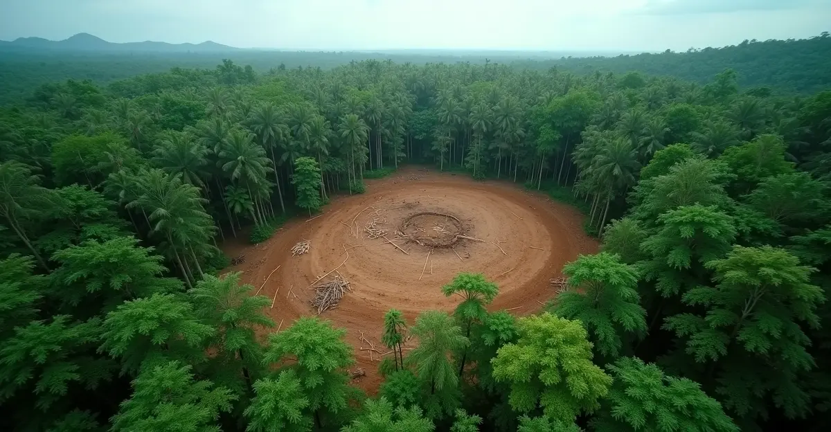
The system uses deep-learning models to analyze satellite imagery and classify deforestation alerts into 10 different drivers, including large-scale agriculture, small-scale farming, mining, road construction, and wildfires. By examining landscape features like elevation, slope, and clearing patterns, the AI can determine causes with remarkable accuracy. 'This represents a quantum leap in forest monitoring,' says Dr. Maria Rodriguez, a forest conservation expert at World Resources Institute. 'For the first time, we can see not just where deforestation is happening, but why it's happening—and that changes everything for enforcement and prevention.'
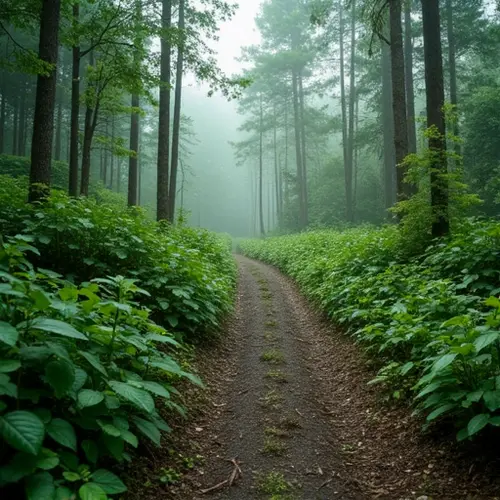
Currently focused on critical forest regions including the Amazon Rainforest, Congo Basin, and Indonesia, the technology has already revealed surprising patterns. Key findings show that logging decreases during rainy seasons, mining may not be as seasonal as previously thought, and road developments often precede other deforestation activities by months.
Implications for Policy and Markets
The new system arrives at a critical moment for global climate policy. According to the World Resources Institute's Deforestation and Restoration Targets Tracker, the world is currently off track for both key 2030 forest goals: ending deforestation and restoring 350 million hectares of lost or degraded forests. In 2024, global deforestation was only 2% lower than the 2018-2020 baseline, far short of the needed 10% annual reductions to reach zero deforestation by 2030.
This enhanced monitoring capability has significant implications for carbon markets and corporate supply chains. 'Companies can now verify with much greater precision whether their supply chains are truly deforestation-free,' explains sustainability analyst James Chen. 'This technology addresses one of the biggest challenges in voluntary carbon markets—the credibility of forest carbon credits.' The system enables better assessment of climate change impacts and conservation efforts by providing detailed, real-time data on forest conditions.
Empowering Indigenous Communities
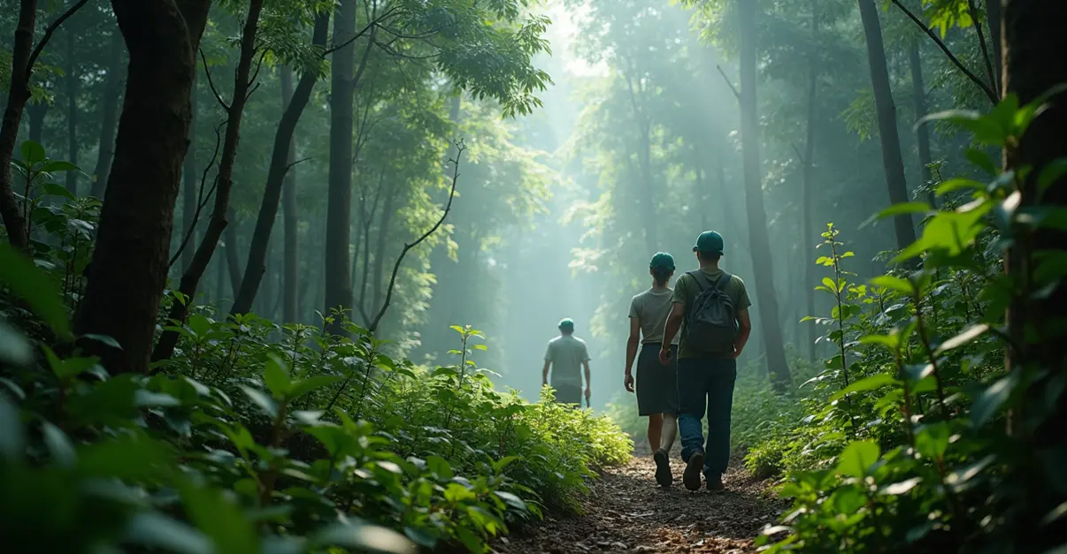
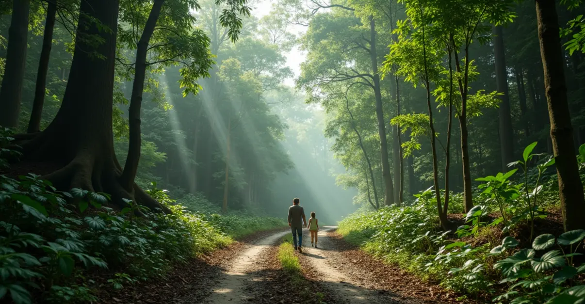
Perhaps the most profound impact is being felt by Indigenous peoples and local communities who depend on forests for their livelihoods and cultural survival. In Suriname, the Saamaka community has used Global Forest Watch satellite imagery to document illegal logging roads built without their consent, presenting evidence to the Inter-American Commission on Human Rights. In Indonesia's Aru Islands, Indigenous Forest Monitors collaborate with Forest Watch Indonesia to track illegal timber using deforestation alerts and mobile apps, leading to government seizures of illegal timber shipments.
'Satellite data gives us the evidence we need to protect our ancestral lands,' says community leader Ana Silva from the Peruvian Amazon. 'When companies or illegal loggers come, we can show exactly what's happening in real time. It's changing the power dynamics.' Research shows that communities using satellite-based monitoring technologies have significantly reduced deforestation on their lands.
Challenges and Future Directions
Despite these advances, significant challenges remain. Many Indigenous communities face threats from logging, mining, and land grabs, especially where governments don't recognize their land rights. The UNU-INWEH policy brief highlights another critical issue: forests are increasingly becoming carbon emitters rather than sinks due to more frequent and intense wildfires, especially in boreal and peatland ecosystems.
Current carbon mitigation frameworks like the Voluntary Carbon Market, REDD+, and the Paris Agreement largely overlook this transformation. The report emphasizes that afforestation and reforestation efforts often disregard wildfire threats and use outdated assessments that ignore fire-driven emissions, leading to overestimated carbon sequestration and ineffective policies.
Looking ahead, researchers at Stanford University are working on even more advanced systems that combine AI algorithms with satellite technology to more accurately measure carbon storage in forests. 'We're moving toward a future where every tree can be accounted for in real time,' says Stanford researcher Dr. Elena Martinez. 'This isn't just about monitoring—it's about creating responsive management systems that can prevent deforestation before it happens.'
The new satellite alert system represents a major step forward in the global fight against deforestation, but experts caution that technology alone isn't enough. 'We have the tools to see deforestation happening in real time,' concludes Dr. Rodriguez. 'Now we need the political will and economic incentives to actually stop it.'


Follow Discussion