


 Deutsch
 English
 Español
 Français
 Nederlands
 Português

 Share
Share




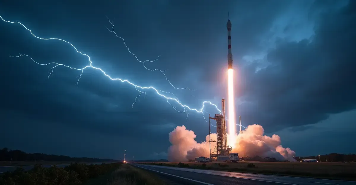
Europe's second Meteosat Third Generation weather satellite, MTG-I2, lifted off from French Guiana on the evening of 27 August 2026, giving meteorologists a sharper and faster set of 'eyes on Europe' to track severe storms, lightning, water vapour and wildfire smoke.
What is the Meteosat Third Generation satellite?
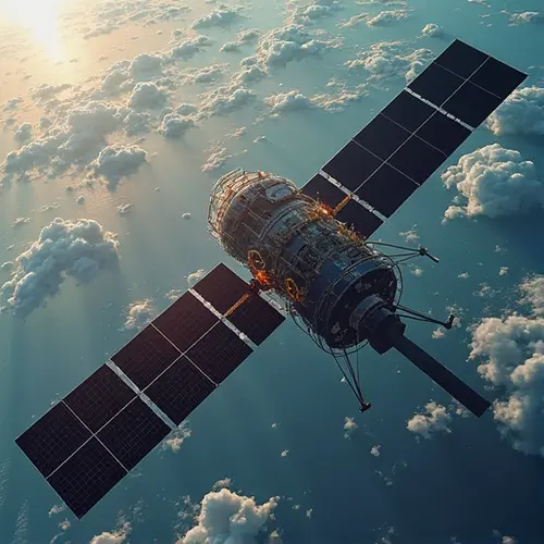
The European geostationary weather satellite network is operated by EUMETSAT, the European Organisation for the Exploitation of Meteorological Satellites. MTG-I2 is the second imager satellite in the Meteosat Third Generation programme, following MTG-I1, which launched in December 2022 and became operational in 2025. Once in position, the new satellite will orbit at an altitude of 36,000 kilometres above the equator, moving in sync with Earth's rotation so it can continuously monitor Europe and Africa.
How MTG-I2 improves storm warnings across Europe
Faster images every 2.5 minutes
Unlike the older Meteosat Second Generation satellites, which provided images less frequently, MTG-I2 can transmit new observations to Earth every 2.5 minutes. KNMI researcher Jos de Laat says the satellite is about the size of a small delivery van. 'It is the eyes on Europe,' he said. The higher resolution and rapid refresh rate allow weather models to calculate severe weather risk more accurately, and the satellite also serves as a crucial backup if another spacecraft fails.
Lightning detection from inside the cloud
A key upgrade is the ability to detect lightning inside clouds. Michiel Severin of weather service Infoplaza explains that 'thunder starts in the cloud' and '99 percent of discharges are mainly within the clouds.' Previously, thunder was mostly detected by ground-based sensors; now KNMI can see developing thunderstorms before they reach the surface. 'This means we can warn people earlier that dangerous weather is on the way,' De Laat added.
Meteosat Third Generation vs Second Generation
- Image frequency: every 2.5 minutes vs every 15 minutes
- Lightning detection: inside-cloud observations vs mostly ground-based sensors
- Resolution: significantly sharper imagery for severe weather tracking
- Coverage: continuous monitoring of Europe and Africa from 36,000 km
Why faster weather data matters for Europe
Protecting theme parks and airports
Infoplaza delivers weather data to companies including Circuit Zandvoort and the Efteling theme park. At the Efteling, visitors on the Gondoletta attraction spend at least 20 minutes on the water, so operators need a 30-minute advance thunderstorm warning. 'We must warn 30 minutes in advance when lightning is coming,' Severin says. At Amsterdam Airport Schiphol, KNMI meteorologist Christian Wentink uses the information to help air traffic control use runways optimally and prevent queues in the sky.
Long-term climate monitoring
Over time, the new generation of satellites could also improve climate model projections for Europe by storing far more atmospheric data. However, De Laat cautions that researchers will need about 20 years of continuous observations before drawing robust climate conclusions. Until then, a satellite from the previous generation remains available as an extra safety net, and when its task is complete it will be moved higher into a graveyard orbit.
Frequently asked questions
When did the new European weather satellite launch?
MTG-I2 launched from the Guiana Space Centre in French Guiana on 27 August 2026 at 22:10 Central European Summer Time (20:10 UTC).
How often does MTG-I2 send images?
The satellite can send new observations every 2.5 minutes, allowing faster updates for severe weather forecasting.
What does the satellite monitor?
It tracks clouds, severe storms, water vapour, dust, smoke and lightning over Europe and Africa.
When will data be available?
According to KNMI, operational data should become available about six months after launch.





Follow Discussion