
The Role of AI in Combating Illegal Deforestation
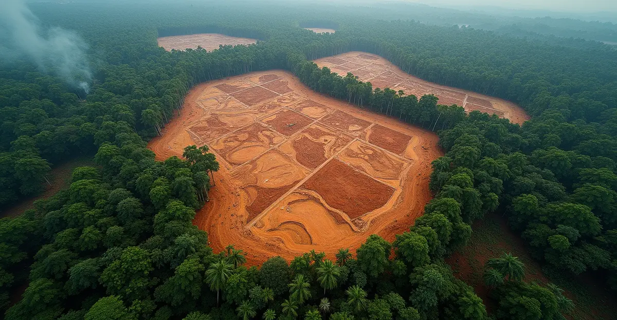
Illegal deforestation remains a critical environmental issue, contributing to biodiversity loss, climate change, and economic instability in affected regions. However, advancements in artificial intelligence (AI) and satellite imagery are revolutionizing the fight against illegal logging operations. By leveraging real-time data analysis, AI is enabling authorities and environmental organizations to detect and respond to deforestation activities more efficiently than ever before.
How AI and Satellite Imagery Work Together
Satellite imagery provides high-resolution visuals of forested areas, capturing changes in land cover over time. AI algorithms analyze this data to identify patterns indicative of illegal logging, such as sudden clearings or unauthorized road construction. Machine learning models can distinguish between natural disturbances (like storms) and human-induced deforestation, reducing false positives and improving accuracy.
Real-Time Monitoring and Alerts
One of the most significant advantages of AI-powered systems is their ability to provide real-time alerts. Platforms like Global Forest Watch use AI to monitor forests globally, sending notifications to stakeholders when suspicious activities are detected. This allows for swift intervention, potentially stopping illegal operations before extensive damage occurs.
Case Studies and Success Stories
In the Amazon Basin, AI-driven tools have helped authorities pinpoint illegal logging hotspots, leading to targeted enforcement actions. Similarly, in Southeast Asia, AI has been instrumental in tracking the movement of illegally harvested timber, disrupting supply chains linked to deforestation.
Challenges and Future Prospects
Despite its potential, AI-based deforestation tracking faces challenges, including limited access to high-quality satellite data in remote areas and the need for continuous model training to adapt to evolving tactics by illegal loggers. However, collaborations between governments, NGOs, and tech companies are addressing these issues, paving the way for more robust solutions.
As AI technology continues to evolve, its role in environmental conservation will likely expand, offering hope for more effective protection of the world's forests.


Follow Discussion