


 Deutsch
 English
 Español
 Français
 Nederlands
 Português


 Share
Share




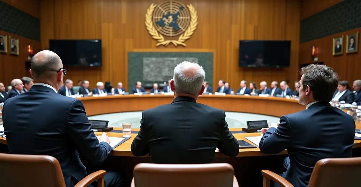
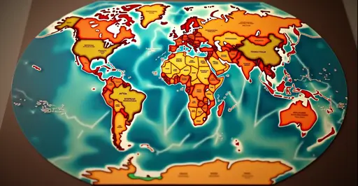
The United Nations General Assembly voted overwhelmingly on September 4, 2026, to promote the Equal Earth map projection as the global standard, ending centuries of Mercator dominance. In a 164-1 vote, with only the United States opposing and six abstentions, member states endorsed a Togo-led resolution urging schools, governments, and technology companies to adopt maps that show Africa at its true size.
What Is the Equal Earth Map Projection?
Created in 2018 by cartographers Bojan Šavrič, Bernhard Jenny, and Tom Patterson, the Equal Earth projection is an equal-area world map that preserves the relative size of continents and countries. Unlike the widely used Robinson projection, Equal Earth shows landmasses proportionally while maintaining a visually pleasing curved shape. This shift follows years of debate over cartographic colonialism in mapmaking.
Why the Mercator Projection Distorts Africa
For nearly five centuries, the Mercator projection—drawn by Flemish cartographer Gerardus Mercator in 1569—has been the default world map in classrooms, atlases, and online services. Designed for maritime navigation, Mercator keeps straight rhumb lines but dramatically inflates areas near the poles. On this map, Greenland appears nearly as large as Africa, yet Africa is actually about 14 times larger. The Mercator projection distortion has been criticized for shrinking the Global South and exaggerating Russia, North America, and Europe.
Mercator vs Equal Earth: Key Differences
- Area accuracy: Mercator distorts landmass sizes; Equal Earth is equal-area.
- Purpose: Mercator was designed for navigation; Equal Earth is for general reference.
- Africa representation: Mercator shrinks Africa; Equal Earth shows its true size.
- Polar regions: Mercator inflates Greenland and Antarctica; Equal Earth limits distortion.
UN Resolution: 164-1 Vote and Key Details
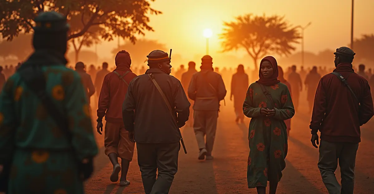
The resolution, introduced by Togo and supported by the 55-member African Union, passed with broad international backing. The United States cast the sole vote against, calling the measure 'superfluous.' Togo's Foreign Minister Robert Dussey told The Guardian, There is scientific evidence, so we must accept the new reality. The African Union #CorrectTheMap campaign, led by NGOs Africa No Filter and Speak Up Africa, has long argued that map distortions negatively shape perceptions of Africa, especially among children. Fara Ndiaye of Speak Up Africa added, The use of the Mercator projection negatively influences thinking about Africa, particularly among children who see the map at school.
Impact on Schools, Navigation, and Geopolitics
Although UN resolutions are non-binding, this one is expected to accelerate changes in education and technology. France announced it will abandon Mercator and adopt the Eckert IV projection, while Togo plans a 2027 implementation event with UNESCO, the African Union, and Google Maps. Experts say the shift could influence everything from global cartography standards to how diseases are mapped and how students understand geography.
FAQ: Equal Earth Map and Africa's True Size
What is the Equal Earth map projection?
It is an equal-area world map projection created in 2018 that accurately represents the relative sizes of continents and countries.
Why does Africa look smaller on most maps?
The Mercator projection, designed for navigation in 1569, inflates areas near the poles and shrinks equatorial regions like Africa.
How much bigger is Africa than Greenland?
Africa is approximately 14 times larger than Greenland, despite appearing similar in size on Mercator maps.
Is the UN Equal Earth map resolution legally binding?
No, UN General Assembly resolutions are non-binding, but they can influence education, technology, and government policies.
Follow Discussion