Mars GPS Guide: NASA's Perseverance Rover Gets Autonomous Navigation Explained
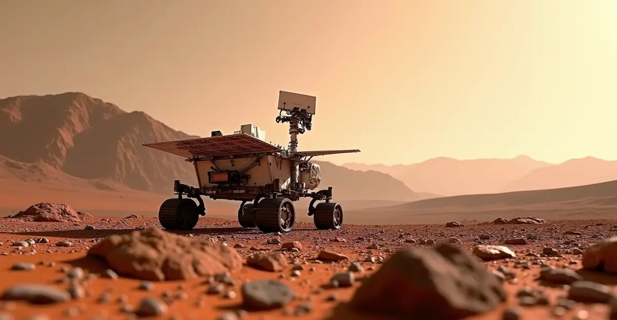
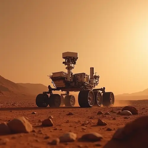
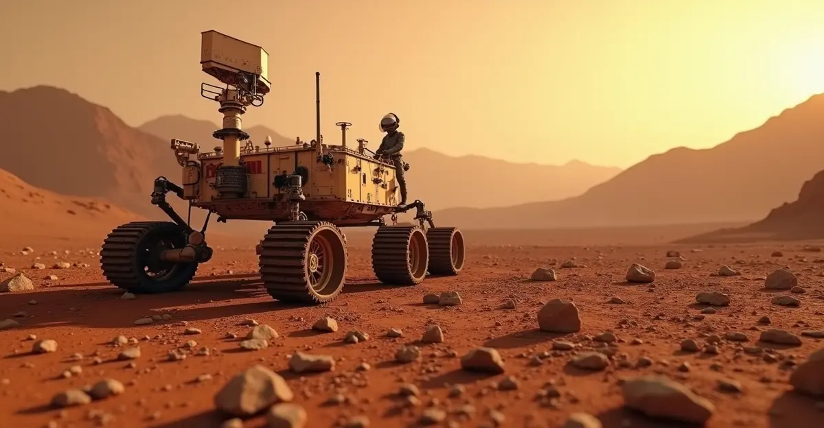
NASA's Perseverance Mars rover has achieved a groundbreaking milestone in space exploration, receiving a revolutionary 'Mars GPS' upgrade that enables autonomous navigation without Earth-based assistance. After five years of operation on the Red Planet, the rover can now pinpoint its exact location within 25 centimeters (10 inches) using new Mars Global Localization technology, dramatically increasing its exploration capabilities and scientific productivity.
What is Mars Global Localization?
Mars Global Localization is NASA's innovative solution to a decades-old robotics challenge: how to navigate precisely on a planet without GPS satellites. Unlike Earth's extensive navigation network, Mars lacks orbital positioning systems, forcing rovers to rely on daily instructions from Earth with significant communication delays. The new system allows Perseverance to match panoramic images from its navigation cameras with onboard orbital terrain maps, calculating its position autonomously in about two minutes.
'We've given the rover a new ability,' said Jeremy Nash, robotics engineer at NASA's Jet Propulsion Laboratory. 'This was a problem for decades, and it's incredibly exciting to test this solution for the first time in space.'
How the New Navigation System Works
The breakthrough technology represents a significant advancement in autonomous space exploration capabilities. Here's how it transforms Perseverance's operations:
Technical Specifications
- Precision: 25 centimeters (10 inches) location accuracy
- Processing Time: Approximately 2 minutes per location fix
- Hardware: Uses processor originally for Ingenuity helicopter communications
- Algorithm: Compares panoramic imagery with orbital terrain maps
- Testing: Validated against 264 previous rover stops
Before vs. After the Upgrade
| Before Upgrade | After Upgrade |
|---|---|
| Daily Earth instructions needed | Fully autonomous navigation |
| Position uncertainty up to 30 meters | Precision within 25 cm |
| Hours waiting for Earth confirmation | Real-time position calculation |
| Limited daily driving distance | Potentially unlimited autonomous range |
| Manual terrain matching by operators | Automatic image-to-map matching |
Why This Breakthrough Matters
The Mars Global Localization system solves a fundamental challenge in planetary robotics. Previously, Perseverance had to wait for daily instructions from Earth, with communication delays of up to 24 hours due to Mars' distance (currently about 140 million miles). This limitation meant the rover could potentially drift dozens of meters off course during longer drives, requiring frequent Earth-based corrections.
'Imagine being alone in a vast desert without roads or maps, and you can only call once a day to ask: Where am I?' explained space robotics engineer Vandi Verma. 'That's what Perseverance has had to do on Mars for five years. People had to keep saying: you're not lost, you're safe. Keep going.'
Impact on Mars Exploration
Increased Scientific Productivity
With autonomous navigation, Perseverance can now:
- Drive significantly longer distances each day
- Explore more diverse geological sites
- Collect more samples for potential return to Earth
- Operate more efficiently without Earth communication delays
- Navigate complex terrain with greater confidence
Future Implications
This technology has far-reaching implications for future Mars missions, including:
- Enabling more ambitious rover missions with greater autonomy
- Supporting future human exploration with precise navigation systems
- Reducing ground team workload and mission operational costs
- Paving the way for more sophisticated autonomous systems
Technical Implementation Details
The Mars Global Localization system runs on a powerful commercial processor originally used to communicate with the now-retired Ingenuity Mars Helicopter. This processor is over 100 times faster than the rover's main radiation-hardened computers, enabling rapid image processing and position calculation. The system was first successfully tested in mission operations on February 2 and February 16, 2025, and has been used routinely since early February 2026.
Frequently Asked Questions
How accurate is the new Mars GPS system?
The Mars Global Localization system can pinpoint Perseverance's location within 25 centimeters (10 inches), a dramatic improvement over previous methods that could accumulate errors of 30 meters or more over longer drives.
Does Mars have GPS satellites like Earth?
No, Mars lacks any navigation satellite network. The new system works by matching the rover's panoramic camera images with pre-loaded orbital terrain maps, creating a GPS-like capability without actual satellites.
How long did it take to develop this technology?
NASA engineers have been working on autonomous navigation solutions for decades. The Mars Global Localization system represents the culmination of years of research and testing, finally implemented successfully in 2026.
Will this technology be used on future Mars missions?
Yes, the successful implementation on Perseverance paves the way for more autonomous navigation systems on future Mars rovers and potentially other planetary exploration missions.
How does this affect Perseverance's mission timeline?
The autonomous navigation capability extends Perseverance's effective mission duration by allowing it to cover more ground efficiently, potentially enabling it to explore areas previously considered too distant or difficult to reach.

Follow Discussion