 Nederlands
 English
 Deutsch
 Français
 Español
 Português


Satellite Data Reveals Accelerating Antarctic Ice Mass Loss
New satellite observations from 2025 confirm what climate scientists have feared for years: Antarctic ice mass loss is accelerating at an alarming rate, with profound implications for global sea level rise and coastal communities worldwide. Data from NASA, the European Space Agency (ESA), and other monitoring programs show that the continent's ice sheets are shedding mass faster than previous projections anticipated, pushing sea level rise projections upward and forcing urgent reassessments of coastal planning strategies.
The Numbers Tell a Stark Story
According to recent research published in Nature Communications, Antarctic sea-level contributions could range from -0.09 meters to +1.74 meters by 2300 under low emissions scenarios, but under high emissions scenarios, that range jumps dramatically to +0.73 meters to +5.95 meters. 'These numbers aren't just statistics—they represent real threats to hundreds of millions of people living in coastal areas,' says Dr. Elena Martinez, a glaciologist at the British Antarctic Survey who was not involved in the study.
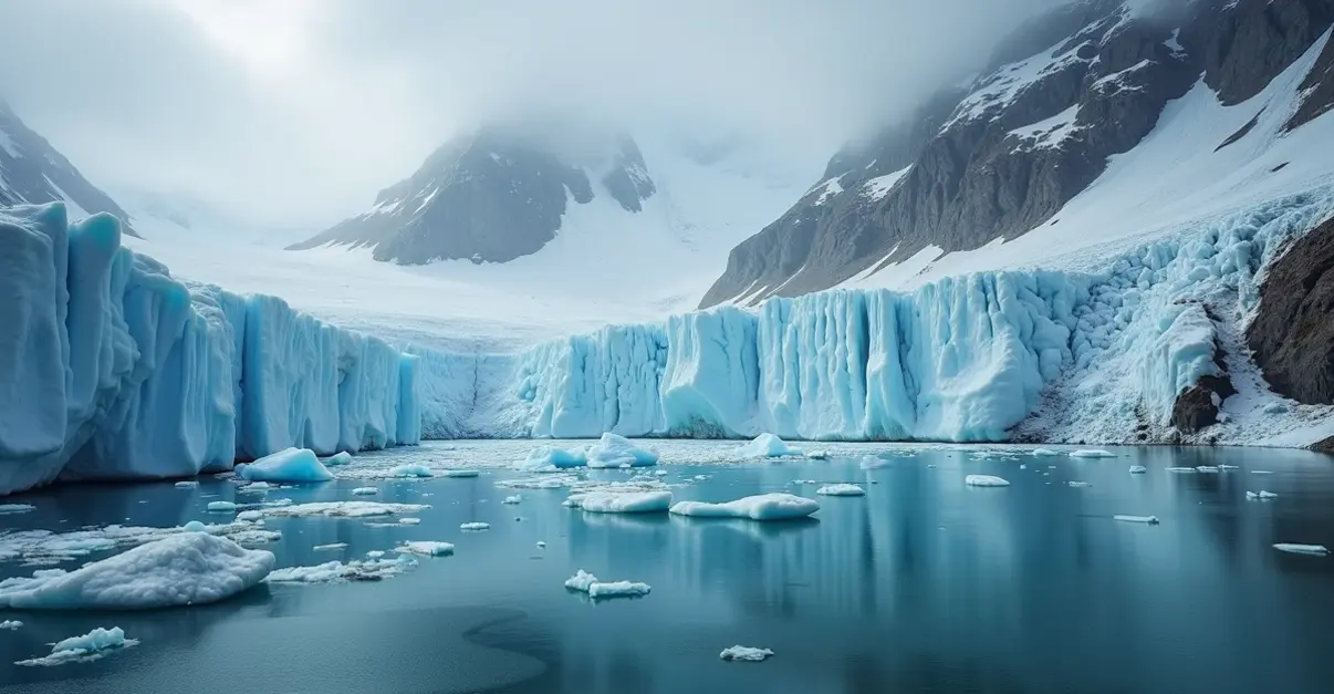
The West Antarctic Ice Sheet (WAIS) is particularly vulnerable. A study in The Cryosphere reveals that present-day mass loss rates from WAIS are a precursor to eventual collapse. Thwaites Glacier and Pine Island Glacier—often called the 'doomsday glacier'—will collapse under current ocean thermal forcing if maintained over multiple centuries, potentially raising global sea levels by at least one meter through a two-phase process of slow retreat followed by rapid mass loss.
Satellite Observations Paint a Clear Picture
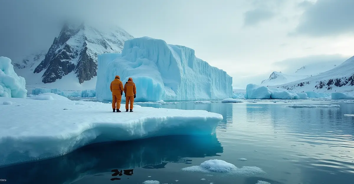
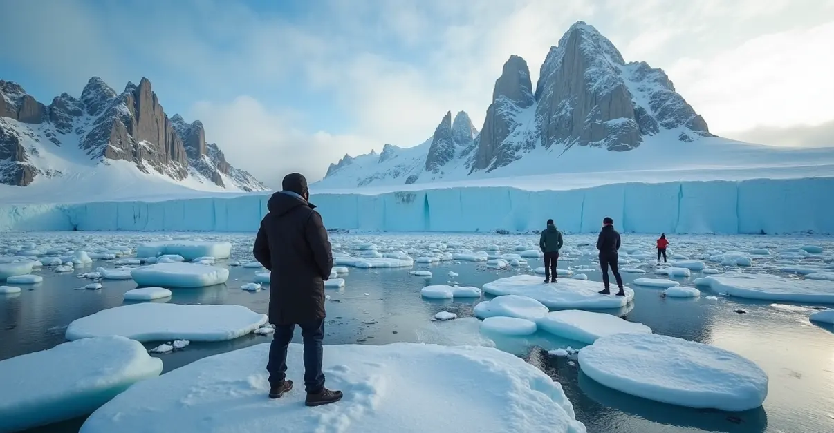
Satellite data from 2025 shows Antarctic sea ice reached one of its lowest levels on record in March, tying for the second-lowest minimum extent in 47 years of observations. The ice retreated to just 1.98 million square kilometers—30% below the 1981-2010 average, according to NASA's Earth Observatory. 'We're seeing changes that challenge our understanding of Antarctic stability,' notes Dr. Robert Chen, a climate scientist at Columbia University. 'The satellite record doesn't lie—we're witnessing a fundamental shift in Earth's cryosphere.'
The GRACE (Gravity Recovery and Climate Experiment) satellite missions and their follow-ons have been particularly valuable, measuring gravitational changes to track ice mass loss with unprecedented precision. These observations reveal that Antarctica is losing ice at an average rate of about 150 billion tons per year, with the rate increasing over the past decade.
Implications for Coastal Planning
The accelerating ice loss has immediate implications for coastal cities and infrastructure planning. A 2025 study in Climate Risk Management developed a 'performance-oriented' adaptation pathway approach for vulnerable coastal infrastructure, finding that without adaptation, approximately 83% of assets would fail protection standards by 2050.
'Coastal planners can no longer rely on historical data alone,' explains Maria Gonzalez, an urban resilience specialist at the World Bank. 'We need to incorporate these new projections into everything from building codes to emergency evacuation routes. Cities like Miami, Shanghai, Rotterdam, and Mumbai face particularly acute challenges.'
The U.S. Environmental Protection Agency emphasizes 'living shorelines' as a natural, cost-effective alternative to traditional sea walls. With sea levels projected to rise 10-12 inches by 2050 along U.S. coastlines, these green infrastructure solutions use native plants, reefs, and natural barriers to reduce erosion and flooding while maintaining natural shoreline processes.
The Uncertainty Challenge
Despite improved observations, significant uncertainties remain. Research published in Science examines the 'drivers of deep uncertainty' in projected ice loss, highlighting complex ice-ocean interactions, bedrock topography beneath ice sheets, and atmospheric circulation patterns that challenge accurate modeling.
'The uncertainty isn't an excuse for inaction—it's a reason for precaution,' argues Professor James Wilson of the University of Cambridge's Scott Polar Research Institute. 'We know enough to act decisively on emissions reduction and coastal adaptation. Waiting for perfect certainty would be the most dangerous strategy of all.'
The Antarctic ice sheet contains about 61% of all fresh water on Earth, according to Wikipedia. If it were to melt completely, it would raise global sea levels by approximately 58 meters (190 feet), though this would take thousands of years under most scenarios. The more immediate concern is the acceleration of partial melting, which could add tens of centimeters to sea levels this century.
Looking Forward
As satellite technology improves and monitoring networks expand, scientists expect to reduce uncertainties in projections. New missions planned for the coming years will provide even more detailed observations of ice sheet dynamics. Meanwhile, the message for policymakers is clear: the time for decisive action on both emissions reduction and coastal adaptation is now.
'Every fraction of a degree of warming we prevent, every ton of emissions we avoid, makes a difference in how much ice Antarctica loses,' concludes Dr. Martinez. 'And every coastal community that prepares today will be more resilient tomorrow. The data is telling us to act—we just need to listen.'