 Nederlands
 English
 Deutsch
 Français
 Español
 Português


Satellite Data Reveals Critical Updates for Coastal Planning
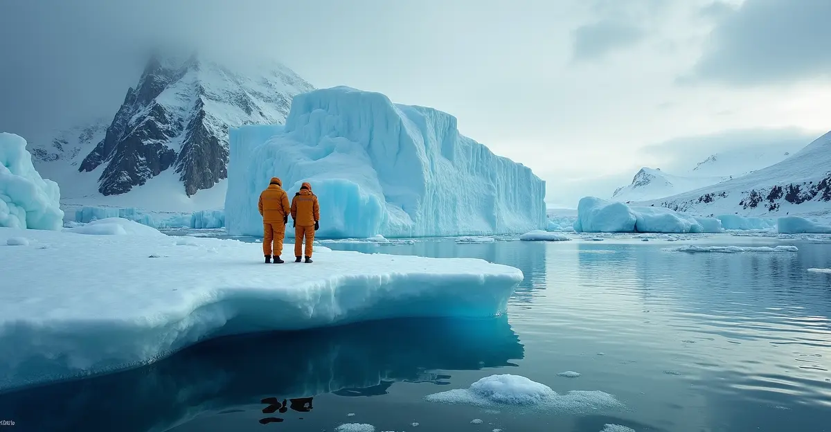
Groundbreaking research using advanced satellite observations has provided new insights into Antarctic ice sheet dynamics, significantly updating global sea level rise projections. The latest findings from 2025 studies reveal that modeling uncertainties remain substantial, requiring urgent attention for coastal planning and infrastructure development worldwide.
Understanding Antarctic Ice Sheet Vulnerability
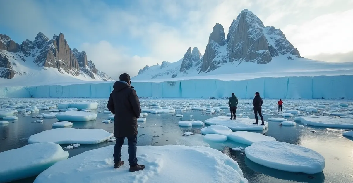
The Antarctic ice sheet, covering 98% of the continent with an area of 14 million square kilometers, contains 26.5 million cubic kilometers of ice—equivalent to 61% of Earth's fresh water. 'The West Antarctic Ice Sheet is particularly vulnerable due to its location below sea level, making it susceptible to marine ice sheet instability,' explains Dr. Carlos Mendez, lead researcher on the new study. 'Our updated models show that if this instability is triggered before 2100, it could add tens of centimeters to sea level rise beyond current projections.'
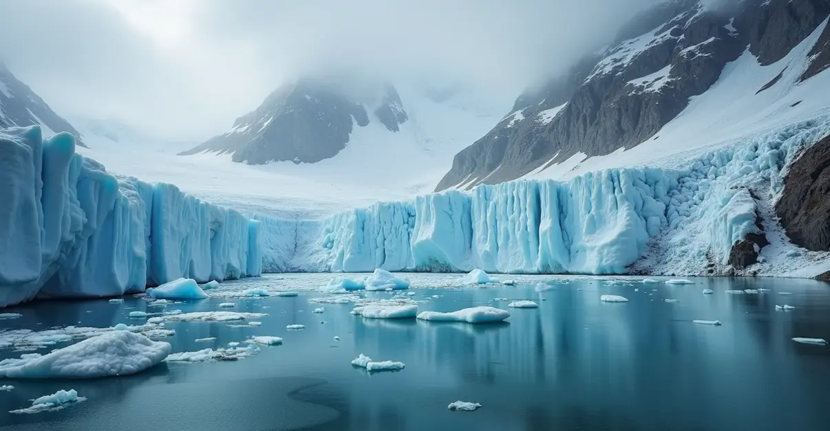
Recent satellite data from NASA and the National Snow and Ice Data Center shows concerning trends. Antarctic sea ice reached its third-lowest maximum extent in 47 years of satellite records in September 2025, continuing a pattern of declining ice coverage. According to NSIDC data, the maximum extent was 17.81 million square kilometers, significantly below historical averages.
Modeling Challenges and Deep Uncertainty
The complexity of ice sheet dynamics presents significant challenges for accurate projections. 'We're dealing with deep uncertainty in our models,' notes Mendez. 'Factors like ice-ocean interactions, atmospheric conditions, and subglacial geology create variables that are difficult to quantify precisely.' A recent Nature Communications study found that Antarctic meltwater creates complex climate feedbacks, reducing global mean surface temperature warming by approximately 0.3°C by 2100 while increasing regional sea level variations.
Researchers emphasize that current models may underestimate ice sheet responses. The West Antarctic Ice Sheet is now considered very likely to disappear even without additional warming, with collapse potentially occurring over 500-13,000 years depending on emission scenarios. This would contribute 3.3 to 4.3 meters of sea level rise, with additional contributions from isostatic rebound.
Coastal Planning Implications
The updated projections have immediate implications for coastal communities and infrastructure planning. 'Coastal cities need to prepare for a wider range of sea level scenarios than previously anticipated,' Mendez advises. 'Our research shows that regional variations mean some areas, particularly in the Pacific, could experience up to 0.9 meters higher sea level than the global mean Antarctic contribution.'
Emergency management officials and urban planners are already incorporating these findings into long-term strategies. The uncertainty in projections means that adaptive management approaches, rather than fixed infrastructure designs, may be necessary for vulnerable coastal regions.
Future Research Directions
Scientists are calling for enhanced monitoring and improved modeling techniques. 'We need better integration of ice sheet models with global climate models,' Mendez states. 'The coupling between Antarctic meltwater and global climate systems is more complex than we previously understood.' Ongoing research using advanced satellite observations aims to reduce these uncertainties and provide more reliable projections for policymakers.
The international scientific community continues to prioritize Antarctic research, recognizing that understanding ice sheet dynamics is crucial for accurate climate projections and effective adaptation planning. As Mendez concludes, 'Every improvement in our models brings us closer to understanding the true risks facing coastal communities worldwide.'