 Nederlands
 English
 Deutsch
 Français
 Español
 Português


Satellite AI Revolutionizes Deforestation Monitoring and Enforcement
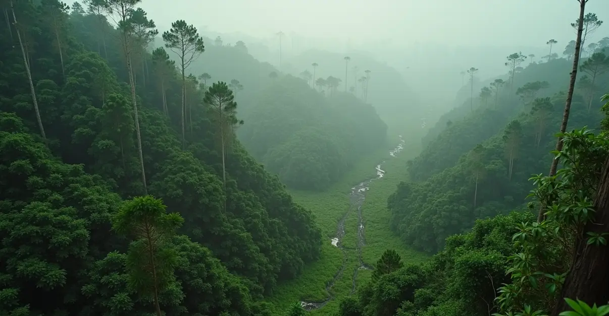
In a groundbreaking development for environmental protection, advanced satellite monitoring systems powered by artificial intelligence are detecting new deforestation patches with unprecedented speed and accuracy. The technology, which combines Earth observation data with machine learning algorithms, is transforming how governments and corporations enforce deforestation regulations and manage supply chain pressures.
The Technology Behind the Detection
The latest systems use a combination of YOLOv8 object detection and LangChain-based Agentic AI to identify deforestation indicators in real-time. According to recent research published in Nature Scientific Reports, this framework can rapidly detect tree stumps, logging machinery, and unauthorized human presence in satellite and drone imagery. 'The integration of YOLOv8 with LangChain agents has increased recall by up to 24% compared to baseline models,' explains Dr. Elena Rodriguez, lead researcher on the project. 'This means we're catching more deforestation events that would have previously gone unnoticed.'
Another innovative approach combines Convolutional Neural Networks (CNN) and Long Short-Term Memory (LSTM) networks for land cover classification and temporal forecasting. This ecosystem-based methodology, detailed in research from the Béjaïa region of Algeria, integrates Landsat and Sentinel satellite imagery with real-time sensor networks including acoustic, environmental, and IoT devices for enhanced validation.
Regulatory Pressure Driving Adoption
The timing of these technological advances coincides with the implementation of the European Union's Deforestation Regulation (EUDR), which came into full effect in 2025. The regulation requires companies to conduct due diligence to ensure products placed on the EU market are deforestation-free. According to European Commission guidance published in March 2025, Earth observation data serves as a critical enabler for verifying supply chains and ensuring compliance.
'Satellite monitoring is no longer optional—it's becoming an operational necessity,' says environmental compliance expert Markus Schmidt. 'Companies that fail to implement these systems risk significant financial penalties and exclusion from European markets.'
Supply Chain Transformation
The impact on global supply chains has been profound. Major corporations like Unilever have reported achieving 95.7% deforestation-free sourcing across 20 million hectares using satellite monitoring, machine learning, and blockchain technology. According to industry analysis, these systems offer 95% accuracy in detecting supply chain disruptions while reducing operational costs by 15-30%.
The technology stack typically combines multi-source data collection from satellite imagery, machine learning architectures for pattern recognition, natural language processing for supplier communications, predictive analytics for risk management, and route optimization software. Implementation costs range from €200,000 for mid-market companies to over €10 million for enterprise-scale deployments, with payback periods of 18-24 months.
Real-World Applications and Challenges
In practical applications, the systems use NDVI (Normalized Difference Vegetation Index) differencing with Kernel Density Estimation and Getis-Ord Gi* hotspot analysis to identify deforestation clusters. These often coincide with wildfire hotspots, as validated in studies of significant forest loss in 2017, 2021, and 2023.
However, challenges remain. Current Earth observation systems like Sentinel-1, Sentinel-2, and Landsat have limitations in detecting small-scale deforestation. 'While we've made tremendous progress, there's still work to be done in monitoring smaller, more subtle changes in forest cover,' notes Dr. Sarah Chen, a remote sensing specialist. 'Next-generation satellites and improved algorithms will help address these gaps.'
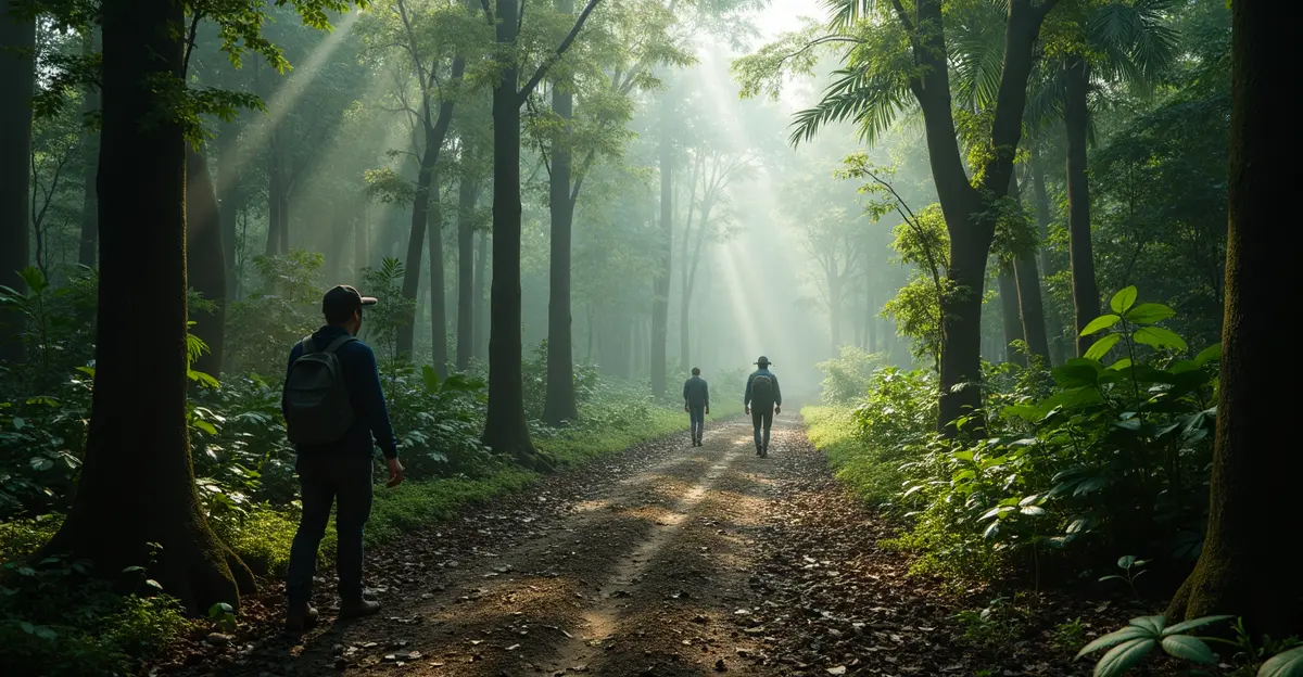
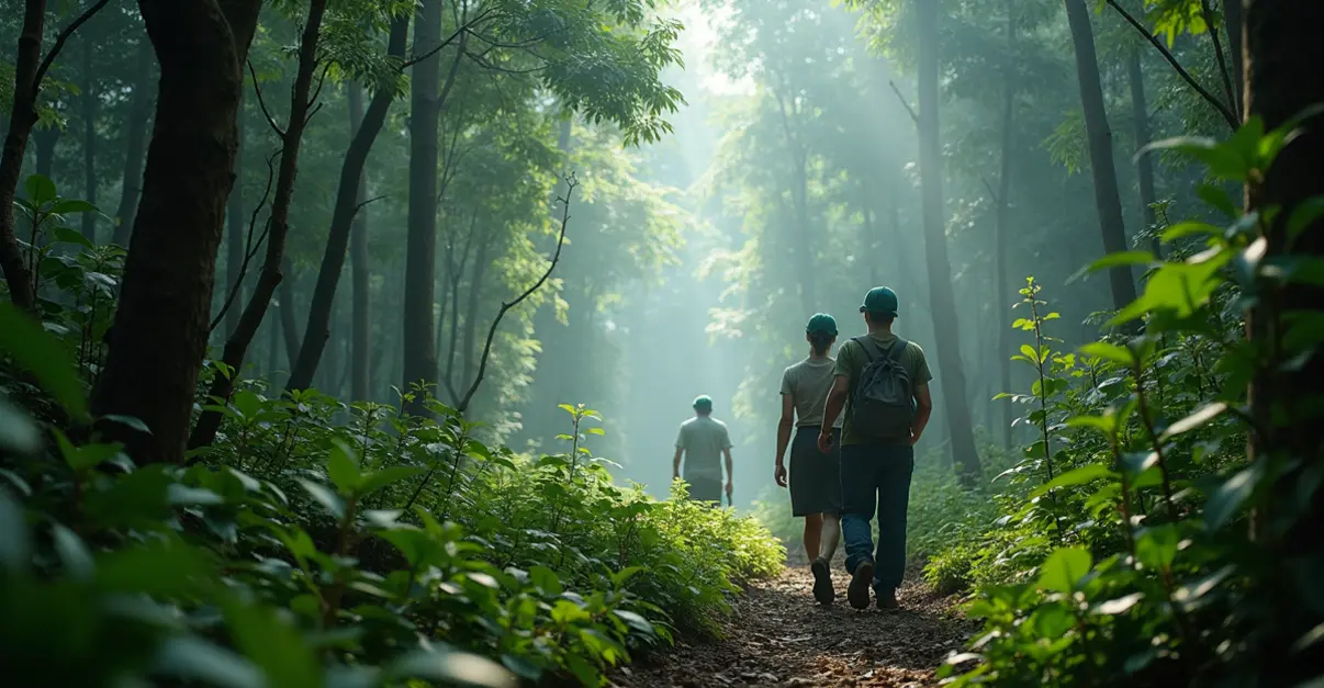
Field validation remains crucial, with researchers using drone-based ground truthing to verify satellite findings. The combination of orbital platforms with aerial and ground-based sensing provides comprehensive monitoring capabilities that were previously impossible.
The Future of Forest Monitoring
Looking ahead, experts predict that AI-driven predictive models and enhanced sensor networks will enable proactive forest management rather than reactive responses. The FAO's WHISP system and upcoming next-generation satellites promise to enhance monitoring capabilities for dynamic land use practices and smaller-scale changes.
'We're moving toward a future where deforestation can be detected and addressed before it becomes widespread,' says environmental policy analyst James Wilson. 'This technology represents a fundamental shift in how we protect our planet's forests.'
As regulatory pressures increase and consumer demand for sustainable products grows, satellite-based deforestation monitoring is set to become standard practice across global supply chains, offering hope for more effective forest conservation worldwide.