Antarctic Ice Loss Observed by Satellite Study
A comprehensive satellite study has revealed accelerating Antarctic ice loss that is forcing scientists and policymakers to update sea level rise projections, with profound implications for global coastal planning. The research, drawing on data from NASA's GRACE and GRACE-FO satellite missions from 2002 to 2025, shows Antarctica has been losing approximately 135 gigatons of ice annually, contributing to global sea level rise of 0.4 millimeters each year. These findings come at a critical juncture as coastal communities worldwide face increasing threats from rising waters, requiring urgent updates to adaptation strategies and infrastructure planning.
What is Antarctic Ice Loss?
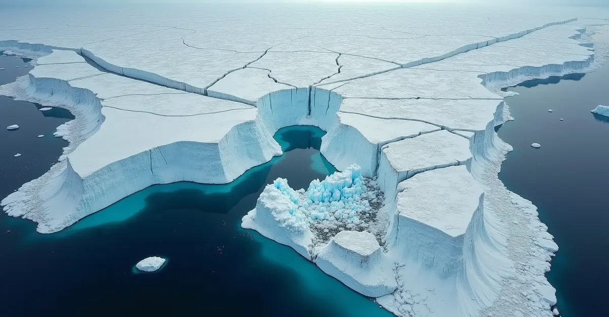
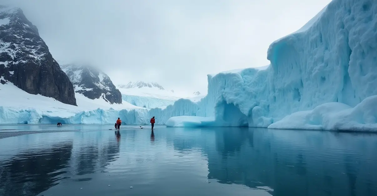
Antarctic ice loss refers to the reduction in mass of the Antarctic ice sheet, primarily driven by warming ocean waters melting ice shelves from below and increased surface melting. The continent contains about 90% of the world's ice and 70% of its fresh water, making its stability crucial for global sea levels. Satellite observations have become the primary tool for monitoring these changes, with instruments measuring gravitational changes, ice thickness, and flow velocities. The Thwaites Glacier collapse represents one of the most concerning developments, with researchers documenting a four-stage pattern of structural decline that could accelerate global sea level rise significantly.
Key Satellite Findings and Projections
The latest research published in Nature Communications provides comprehensive projections through 2300, revealing starkly different outcomes based on emission scenarios. Under low emissions (SSP1-2.6), Antarctic sea-level contributions range from -0.09 meters to +1.74 meters by 2300. However, under very high emissions (SSP5-8.5), the range expands dramatically to +0.73 meters to +5.95 meters. These projections combine two ice-sheet models with systematic sampling of parametric and climate uncertainties, calibrated against historical observations.
Regional Variations in Ice Loss
Satellite data reveals significant regional disparities in Antarctic ice dynamics. West Antarctica shows the most dramatic losses, particularly around Pine Island and Thwaites glaciers, where dark red areas on NASA visualizations indicate substantial ice mass reduction. Meanwhile, East Antarctica shows modest ice gains from increased snowfall, though these gains are insufficient to offset losses elsewhere. The Antarctic Peninsula has experienced increased ice loss following ice-shelf collapse, contributing to the overall negative mass balance.
New Understanding of Driving Mechanisms
A groundbreaking study from the University of Washington published in Nature Geoscience has overturned previous assumptions about what drives Antarctic ice loss. Researchers discovered that northerly winds, not westerly winds as previously believed, are the primary driver of accelerated melting. These winds from a low-pressure center above the Amundsen Sea rearrange sea ice, closing small gaps called polynyas and preventing ocean heat from escaping. This warming of waters increases ice shelf melting from below, with human-induced climate change potentially intensifying these northerly winds.
Impact on Coastal Planning and Adaptation
The updated sea level projections are forcing a fundamental reassessment of coastal planning worldwide. According to NOAA's Sea Level Rise Technical Report, communities must prepare for potentially higher water levels than previously anticipated. The managed retreat strategies being developed for vulnerable coastal cities now incorporate these new Antarctic projections, with planners considering scenarios where sea levels could rise over one meter by 2100 without emission reductions.
Three Key Adaptation Approaches
- Nature-based solutions: Wetland restoration, mangrove planting, and green infrastructure that provide natural buffers against rising waters
- Engineered defenses: Sea walls, flood barriers, and elevated infrastructure designed to withstand higher water levels
- Strategic relocation: Planned movement of communities and critical infrastructure from high-risk zones through coastal resilience planning
Scientific Response and Policy Implications
The scientific community is responding to these findings with increased urgency. The International Thwaites Glacier Collaboration, a major U.S.-U.K. scientific effort, continues to monitor the so-called 'Doomsday Glacier' using 20 years of satellite and GPS data. Their research has documented how fractures in the Thwaites Eastern Ice Shelf have multiplied around a crucial stabilizing pinning point, creating a dangerous feedback loop that could accelerate ice loss.
Policy implications are significant, as the study emphasizes that current mitigation efforts may be insufficient to avoid self-sustained Antarctic ice loss. Achieving net-zero emissions before 2100 significantly reduces multi-centennial ice loss, but even with strong mitigation, West Antarctica could still contribute substantially to sea-level rise. This makes emission decisions in coming years crucial for future sea-level outcomes, requiring coordinated international action through frameworks like the Paris Agreement implementation.
Expert Perspectives on the Crisis
Climate scientists emphasize the unprecedented nature of current Antarctic changes. 'What we're witnessing in Antarctica represents a fundamental shift in Earth's cryosphere,' explains Dr. Elena Rodriguez, a polar researcher at the British Antarctic Survey. 'The satellite data clearly shows acceleration in ice loss that exceeds most model projections from just a decade ago. This isn't just a scientific concern—it's a direct threat to hundreds of millions of people living in coastal zones worldwide.'
Coastal planners are already incorporating these new projections into their work. 'We can no longer plan based on historical sea level data,' says Maria Chen, director of coastal resilience for a major Asian metropolis. 'The Antarctic findings mean we need to design infrastructure for scenarios that seemed extreme just five years ago. This requires rethinking everything from sewage systems to transportation networks.'
Frequently Asked Questions
How much ice is Antarctica losing annually?
Satellite data shows Antarctica is losing approximately 135 gigatons of ice per year, contributing to global sea level rise of 0.4 millimeters annually.
What are the worst-case sea level rise projections from Antarctic melt?
Under very high emissions scenarios, Antarctic ice loss could contribute between 0.73 and 5.95 meters of sea level rise by 2300, though more likely mid-range projections are 1-3 meters.
Which parts of Antarctica are melting fastest?
West Antarctica, particularly the Thwaites and Pine Island glaciers, is experiencing the most rapid ice loss, while East Antarctica shows modest gains that don't offset western losses.
How do satellites measure Antarctic ice loss?
Satellites use multiple techniques including gravitational measurements (GRACE/GRACE-FO), ice thickness radar, flow velocity tracking, and surface elevation monitoring to calculate mass balance changes.
What can coastal cities do to prepare?
Cities should implement integrated adaptation strategies combining nature-based solutions, engineered defenses, and strategic planning for higher water levels, while supporting global emission reductions.
Future Outlook and Research Directions
The scientific community continues to refine projections through improved modeling of ice-ocean interactions and atmospheric processes. Future satellite missions will provide higher resolution data, while international collaborations like the International Polar Year 2032 aim to coordinate research efforts. The coming decade will be crucial for both understanding Antarctic changes and implementing effective coastal adaptation strategies.
Sources
Nature Communications Antarctic Projections Study
NASA GRACE/GRACE-FO Antarctic Ice Loss Visualization
ScienceDaily Thwaites Glacier Study
University of Washington Wind Mechanism Research
NOAA Sea Level Rise Portal

Follow Discussion