


 Deutsch
 English
 Español
 Français
 Nederlands
 Português


 Share
Share




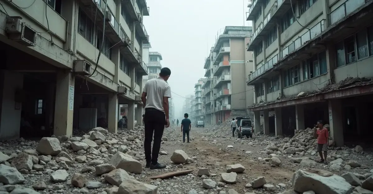
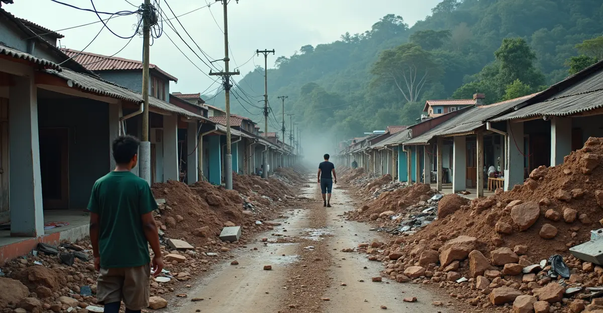
A magnitude 7.7 earthquake struck off the coast of Indonesia's Flores Island on August 15, 2026, killing at least 38 people, injuring six and leaving two missing, local authorities said. The Indonesia 7.7 earthquake triggered a brief tsunami warning and damaged buildings across East Nusa Tenggara province, including the port city of Maumere. More than 2,000 residents in the Nagekeo region were evacuated as rescuers searched collapsed structures for survivors.
What happened in the Flores earthquake?
According to the Indonesian meteorological agency BMKG, the quake occurred around midnight local time and had an epicenter about 68 kilometers northwest of Ende, on Flores Island. The U.S. Geological Survey (USGS) estimated that 1.5 million people felt the shaking. More than 100 aftershocks followed, including one measuring 6.1, according to the head of BMKG.
The area is no stranger to seismic activity. The 1992 Flores earthquake and tsunami killed at least 2,500 people, and the Flores Thrust fault remains a major source of powerful offshore earthquakes.
Tsunami warning and evacuation
BMKG issued a tsunami warning immediately after the quake, but withdrew it about three hours later when waves were no higher than one meter. Many people had already fled to higher ground by then, local media reported.
Patients were evacuated from several hospitals in Maumere. Staff carried beds, IV drips and oxygen cylinders outside as a precaution, according to the Associated Press. Power outages complicated rescue efforts and information flow.
Damage in Maumere and beyond
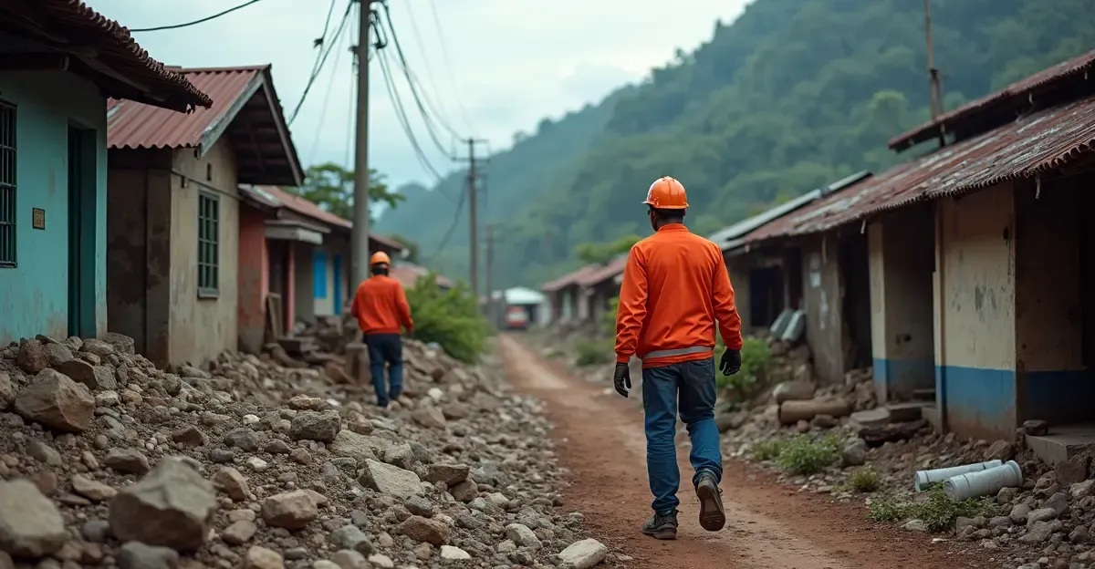
In Maumere, the largest city on Flores, a section of a port building collapsed, burying people in a waiting area. Video showed a footbridge to a ferry giving way and people being thrown into the water. Rescuers were working to free people trapped in collapsed structures.
Flores is home to about 1.9 million people. The western part, including Labuan Bajo and Komodo National Park, is a popular diving and snorkeling destination. However, the hardest-hit areas lie on the island's northern and central coasts.
Why Indonesia faces frequent earthquakes
Indonesia sits on the Pacific Ring of Fire, a horseshoe-shaped zone of intense seismic and volcanic activity where tectonic plates collide. The Flores back-arc thrust runs off the north coast of the Lesser Sunda Islands, and it has produced at least six tsunamigenic earthquakes since 1800, according to geological research.
This latest event highlights the importance of tsunami early warning systems in Indonesia and preparedness in coastal communities. Scientists studying the Flores Thrust seismic risk have warned that similar offshore quakes could happen again.
FAQ: Indonesia Flores earthquake
How many people died in the Indonesia 7.7 earthquake?
At least 38 people were confirmed dead, with six injured and two missing as of August 15, 2026. The toll could rise.
Was there a tsunami after the Flores earthquake?
Yes, BMKG issued a tsunami warning, but waves were no higher than one meter. The warning was withdrawn after about three hours.
Where was the epicenter of the 7.7 earthquake?
The epicenter was about 68 kilometers northwest of Ende, off the northern coast of Flores Island, Indonesia.
Is Flores Island safe to visit after the earthquake?
Travelers should monitor official guidance. The western tourist areas around Labuan Bajo and Komodo National Park were not reported as the hardest-hit, but power outages and aftershocks may affect services.
Why does Indonesia have so many earthquakes?
Indonesia lies on the Pacific Ring of Fire, where tectonic plates meet and frequently produce earthquakes and volcanic eruptions.



Follow Discussion