


 Deutsch
 English
 Español
 Français
 Nederlands
 Português


 Share
Share




What Is a Pyrocumulonimbus Cloud?
A pyrocumulonimbus (pyroCb), also known as a fire cloud or cumulonimbus flammagenitus, is a thunderstorm cloud generated directly by the extreme heat of a massive wildfire. Unlike ordinary cumulonimbus clouds that form from solar heating, pyroCb clouds rise from the intense thermal energy of a firestorm. As the wildfire burns, superheated air, smoke, ash, and moisture are forced upward in a powerful updraft. When this plume reaches a cool, moist layer of the upper troposphere, the water vapor condenses into a towering cloud that can reach 10–15 kilometers high and even punch into the stratosphere.
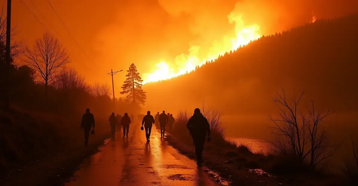
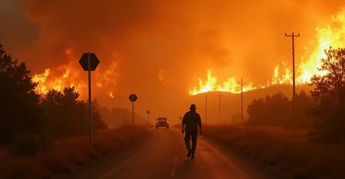
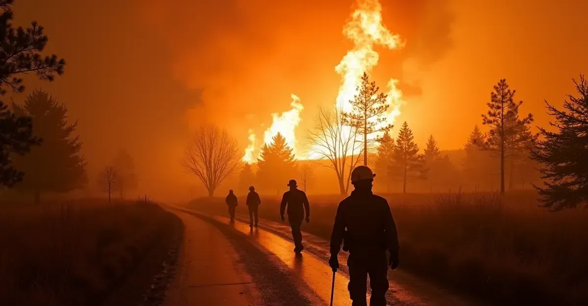
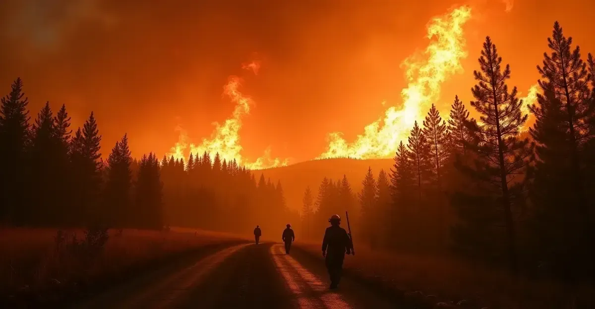
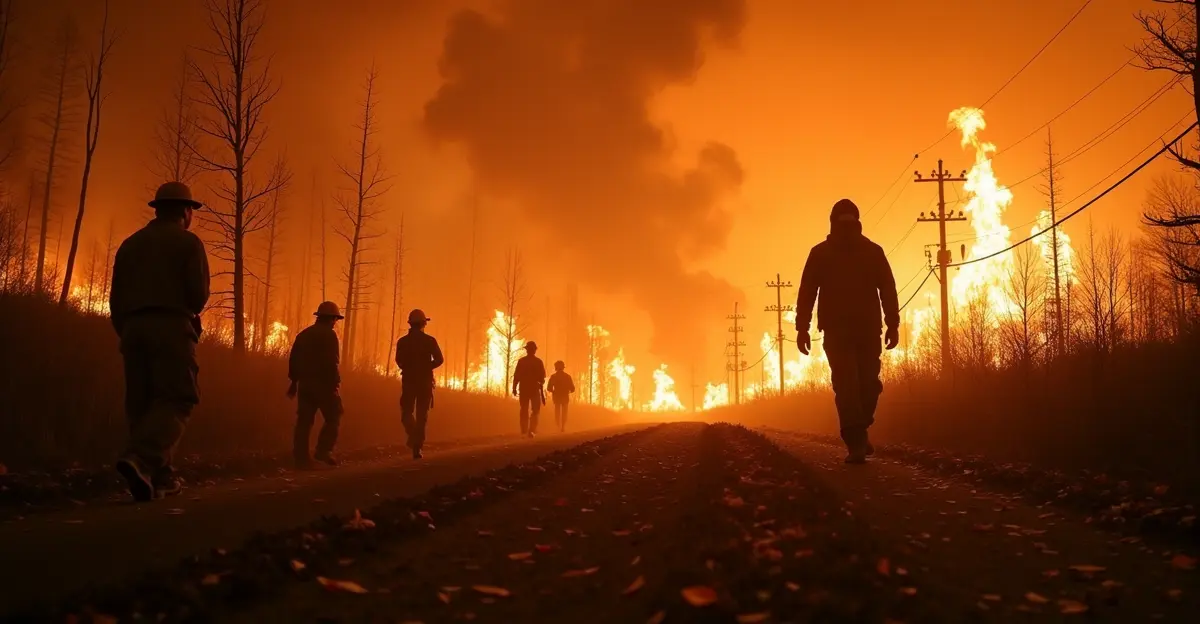
This phenomenon was observed for the first time in France in July 2026, during the catastrophic wildfires that swept through the Gironde region near Bordeaux. French firefighters described it as a "firestorm," and the governor of the Gironde department called it "an incredible and unprecedented phenomenon." The 2026 France wildfire season has already burned over 44,000 hectares, surpassing the previous year's total.
How Does a Fire Cloud Form?
Pyrocumulonimbus formation requires three key ingredients: a large, intense wildfire generating extreme heat; a dry, unstable atmosphere near the ground; and cool, moist air aloft. The process unfolds as follows:
- Intense heating: The wildfire heats the ground air to extreme temperatures, causing it to rise rapidly as a convective plume.
- Rapid ascent: The plume rises like a chimney, carrying smoke, ash, and water vapor high into the atmosphere at speeds of up to 60 meters per second.
- Condensation: At altitude, the moisture in the plume cools and condenses around smoke particles, forming a dense cloud.
- Thunderstorm development: If the updraft is strong enough, the cloud grows into a full thunderstorm, complete with lightning, hail, and powerful downdrafts.
Unlike regular storms, pyroCb clouds rarely produce rain because smoke particles keep water droplets too small to fall. Instead, they generate dry lightning and erratic winds that spread the fire unpredictably.
Why Are Pyrocumulonimbus Clouds So Dangerous?
Fire clouds pose multiple threats that make wildfires even harder to control. NASA has called the pyroCb "a fire-breathing dragon of clouds." Here are the primary dangers:
- Lightning ignition: The cloud produces lightning that can strike miles away, igniting new spot fires far from the main blaze. During the 2021 wildfire season in British Columbia, Canada, a single pyroCb event triggered over 700,000 lightning flashes — equivalent to an entire year's normal lightning activity for the province.
- Erratic winds: The thunderstorm downdrafts generate unpredictable, powerful wind gusts that can change direction suddenly, fanning flames in multiple directions and overwhelming firefighting efforts.
- Fire tornadoes: In extreme cases, the intense vorticity within the cloud can spawn fire tornadoes, which hurl burning debris and spread the fire rapidly.
- Stratospheric smoke injection: PyroCb clouds inject smoke and aerosols directly into the stratosphere, where they can persist for months and travel globally, affecting air quality, blocking sunlight, and even influencing climate patterns — similar to the "nuclear winter" effect.
French firefighters described the 2026 Gironde blaze as a "David-versus-Goliath scenario" because the fire became erratic and unmanageable once the pyroCb formed. The blaze has burned 104,000 acres (42,000 hectares) and destroyed over 240 homes. More than 220,000 people have been evacuated from the region.
How Rare Are Pyrocumulonimbus Events?
Pyrocumulonimbus clouds are considered rare, especially in Europe. Before 2026, the only confirmed pyroCb in Europe occurred during the deadly 2017 Portuguese wildfires, which killed 60 people. In Australia and North America, pyroCb events are more common but still associated only with the most severe wildfires. According to a 2025 study published in npj Climate and Atmospheric Science, researchers documented 761 confirmed pyroCb events globally between 2013 and 2023, with 2023 setting a record of 169 events — 142 of them in Canada alone.
Scientists warn that the frequency of pyroCb events is increasing. University of New South Wales bushfire scientist Rick McRae noted that over 100 pyroCb events have been recorded since 2000, compared to just seven in the 35 years prior. A 2026 study in Environmental Research Letters projects that climate change and wildfire frequency will further increase pyroCb occurrence probability under future warming scenarios.
Is There a Link to Climate Change?
While there is no direct causal link between climate change and individual pyroCb events, the connection is indirect but strong. Climate change is increasing the frequency and severity of heatwaves and droughts, which in turn create the dry, hot conditions that fuel extreme wildfires. Europe is the fastest-warming continent, with temperatures rising approximately 2°C over the past 50 years — nearly double the global average. Longer, drier summers and more intense heatwaves make landscapes more flammable, increasing the likelihood of the kind of massive, high-intensity fires needed to generate pyroCb clouds.
As one French firefighter told reporters: "We have never seen anything like this before. The fire is creating its own weather, and we are powerless against it." Scientists are now working to develop predictive models that can forecast when and where pyroCb clouds are likely to form, giving firefighters a crucial early warning. A breakthrough simulation by the Desert Research Institute in 2025 successfully modeled the 2020 Creek Fire in California within an Earth system model for the first time, paving the way for better predictions.
Frequently Asked Questions About Pyrocumulonimbus Clouds
What does a pyrocumulonimbus cloud look like?
A pyroCb cloud resembles a towering cumulonimbus thundercloud, often with a flat anvil top. It appears dark gray or brown due to the smoke and ash content, and may have a distinct "cauliflower" shape at the top as it billows upward.
Can pyrocumulonimbus clouds put out fires?
In rare cases, the heavy precipitation from a pyroCb — if it occurs — can dampen the fire below. However, most pyroCb clouds produce little to no rain, and the lightning and winds they generate typically worsen the fire.
How long do pyrocumulonimbus clouds last?
PyroCb events typically last around three hours. However, the smoke injected into the stratosphere can persist for months and travel thousands of kilometers.
Have pyrocumulonimbus clouds been observed in other countries?
Yes. PyroCb clouds have been documented in Australia (including during the 2026 Victorian bushfires), Canada (record-breaking 2023 season), the United States (California wildfires), Portugal (2017), and now France (2026).
Can pyrocumulonimbus clouds be predicted?
Scientists are actively developing predictive models. The 2025 breakthrough simulation of the Creek Fire using the Energy Exascale Earth System Model (E3SM) is a major step forward. Researchers hope to integrate such models into operational fire weather forecasting to give firefighters advance warning.

Follow Discussion