What is GPS-Free Drone Navigation?
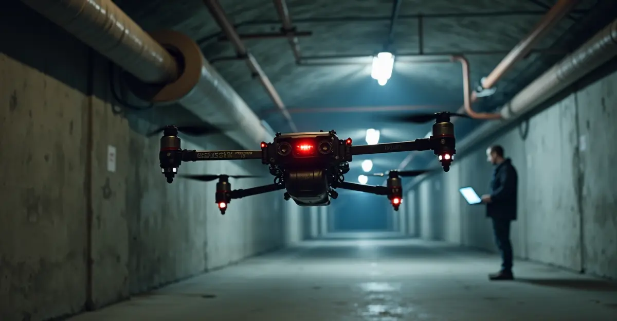
GPS-free drone navigation represents a groundbreaking advancement in autonomous flight technology that eliminates dependency on satellite signals for positioning. Researchers from Prince Sultan University in Riyad, Saudi Arabia, have developed an innovative AI framework called CLAK that enables drones to navigate using only onboard sensors like LiDAR, gyroscopes, accelerometers, and barometers. This technology is particularly crucial for operations in 'challenging environments' where GPS signals are weak, blocked, or actively jammed—including indoor spaces, underground tunnels, dense urban areas, mountainous terrain, and conflict zones where traditional navigation systems fail.
The Problem with Traditional Drone Navigation
Conventional drone navigation relies heavily on GPS signals or visual camera systems, both of which have significant limitations. GPS signals can be blocked by buildings, terrain, or weather conditions, while visual systems struggle in low-light environments or areas with limited visual features. 'Every hobbyist knows the disadvantages: a bit of interference and the drone no longer knows where it is, with all the consequences that entails,' notes the original research. This vulnerability becomes critical in applications like search and rescue missions, infrastructure inspection, and military operations where reliable navigation is essential.
How the CLAK AI System Works
The CLAK (CNN-LSTM-Attention-KAN) framework represents a sophisticated hybrid architecture that combines multiple AI techniques:
- Convolutional Neural Networks (CNNs): Extract spatial patterns from sensor data
- Long Short-Term Memory (LSTM) networks: Model temporal sequences and movement patterns
- Attention mechanisms: Prioritize important sensor readings and moments
- Kolmogorov-Arnold Networks (KANs): Provide flexible nonlinear regression for position prediction
The system processes data from multiple sensors simultaneously. LiDAR (Light Detection and Ranging) measures distances using laser pulses, gyroscopes track orientation changes, accelerometers measure movement, and barometers detect altitude changes through air pressure variations. By fusing this multi-sensor data through the CLAK architecture, drones can accurately estimate their latitude, longitude, and elevation without any external references.
Key Technical Specifications
During testing, the CLAK system demonstrated remarkable accuracy with position errors of 'less than one meter'—a significant improvement over GPS-based systems that can experience errors of 3-5 meters or complete signal loss in challenging environments. The research, published in the journal Satellite Navigation, shows the system achieved a mean absolute error of just 0.800 meters with an R² value of 0.998, representing up to 78% improvement over baseline methods. The lightweight design enables real-time processing on resource-constrained drone hardware with millisecond-scale inference times.
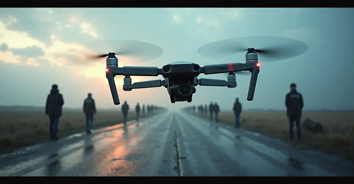
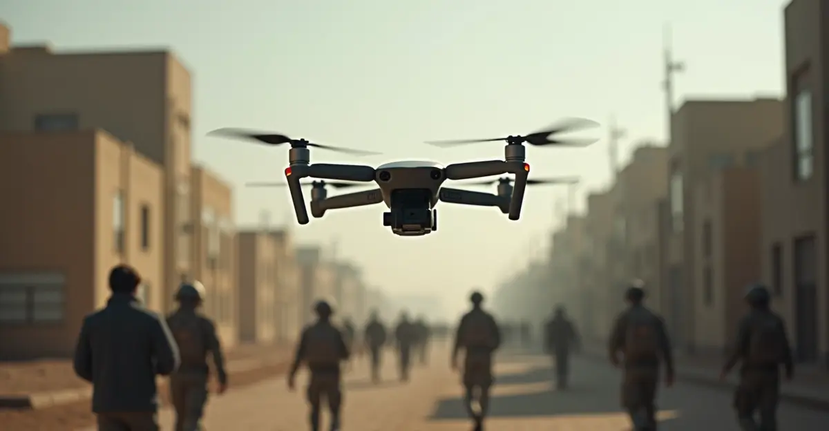
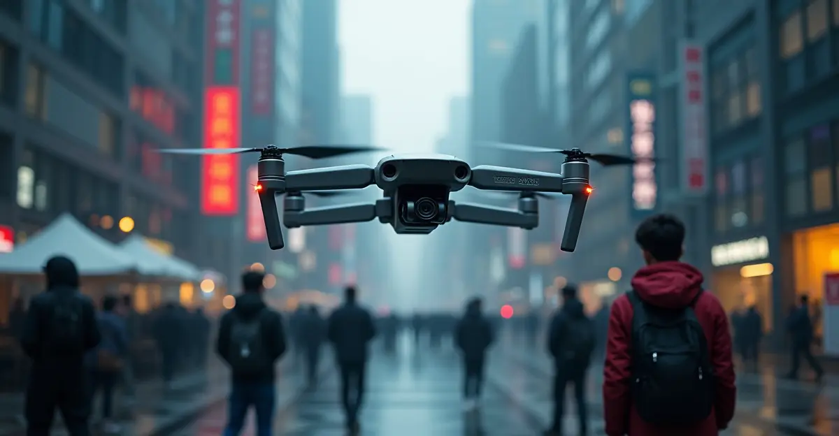
Applications in Challenging Environments
The GPS-free navigation system opens up new possibilities for drone operations in previously inaccessible areas. Researchers anticipate applications in several critical domains:
- Search and Rescue Operations: Drones can navigate collapsed buildings, underground tunnels, and dense forests where GPS signals cannot penetrate
- Infrastructure Inspection: Inspection of bridges, dams, and industrial facilities in urban canyons or remote locations
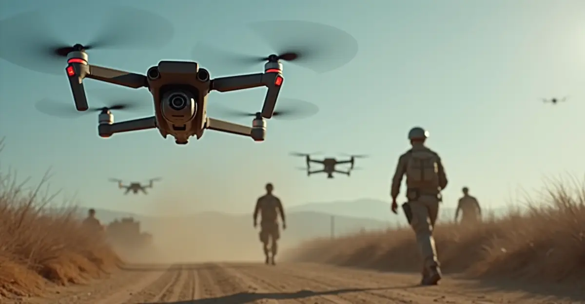
- Military and Security: Operations in GPS-jammed conflict zones or areas with electronic warfare capabilities
- Disaster Response: Navigation through smoke, dust, or adverse weather conditions that block visual systems
- Scientific Research: Exploration of caves, canyons, and other natural formations where satellite signals are unavailable
Similar to the autonomous vehicle navigation systems being developed for self-driving cars, this drone technology represents a significant leap in robotic autonomy for challenging operational environments.
Comparison: GPS-Free vs Traditional Navigation
| Feature | GPS-Free Navigation (CLAK) | Traditional GPS Navigation |
|---|---|---|
| Signal Dependency | None - uses onboard sensors only | Requires continuous GPS signal |
| Indoor Operation | Excellent - no signal limitations | Poor to impossible |
| Urban Canyon Performance | High - unaffected by buildings | Degraded by multipath and blockage |
| Jamming Resistance | High - no external signals to jam | Vulnerable to electronic warfare |
| Accuracy | ~0.8-1.0 meters | ~3-5 meters (can degrade further) |
| Computational Requirements | Higher - requires AI processing | Lower - simple signal processing |
Future Development and Implications
The research team continues to refine the technology to reduce the error margin further. 'After that, the researchers expect drones can be deployed in challenging environments such as indoor spaces of buildings, underground tunnels, and mountainous terrain where satellite data does not penetrate,' according to the study. The implications extend beyond drone technology, potentially influencing other autonomous systems including industrial robotics and underwater vehicles that operate in GPS-denied environments.
As drone applications continue to expand across commercial, military, and humanitarian sectors, reliable navigation in all conditions becomes increasingly critical. This breakthrough represents a significant step toward truly autonomous systems that can operate anywhere, regardless of environmental challenges or signal availability.
Frequently Asked Questions
How accurate is GPS-free drone navigation?
The CLAK system achieves position accuracy of less than one meter (approximately 0.8 meters mean absolute error), which is comparable to or better than GPS in challenging environments where satellite signals are degraded.
What sensors does the system use?
The system uses LiDAR for distance measurement, gyroscopes for orientation tracking, accelerometers for movement detection, and barometers for altitude measurement through air pressure changes.
Can this technology work in complete darkness?
Yes, unlike visual navigation systems that require light, the sensor-based approach works equally well in complete darkness since it doesn't rely on cameras or visual references.
Is the system vulnerable to electronic interference?
No, since it doesn't rely on external signals like GPS, the system is immune to jamming, spoofing, or other forms of electronic warfare that target radio frequency signals.
When will this technology be commercially available?
While the research is promising, further testing and refinement are needed. Researchers anticipate practical applications within the next 2-3 years as the technology matures and error margins are reduced further.
Sources
1. Prince Sultan University Research: Satellite Navigation Journal
2. EurekAlert Research Release: AI Framework for GPS-Free Navigation
3. Interesting Engineering Analysis: Drones No GPS AI Navigation
4. BNR Original Article: GPS-Loze Drone Navigatie
Follow Discussion