
Catastrophic Flooding Triggers Emergency Response
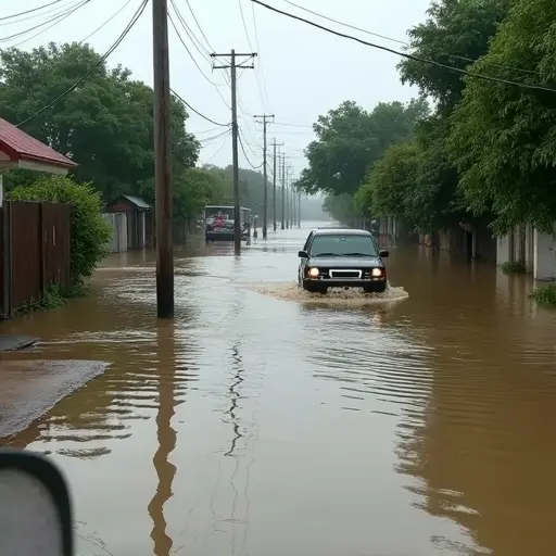
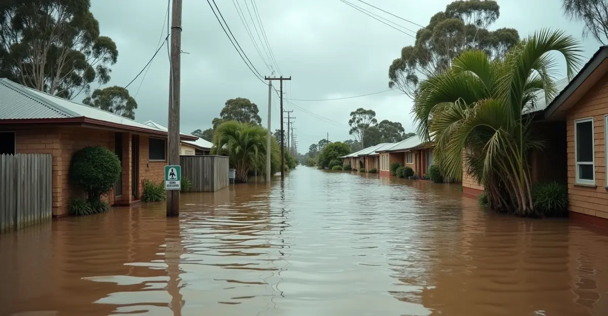
Major river basins across multiple states are experiencing catastrophic flooding that has prompted mass evacuations and emergency shelter operations. The flooding, which began in early 2025, has affected communities along the Mississippi River and other major watersheds, forcing thousands of residents from their homes and testing emergency response systems nationwide.
Emergency Shelter Operations in Full Swing
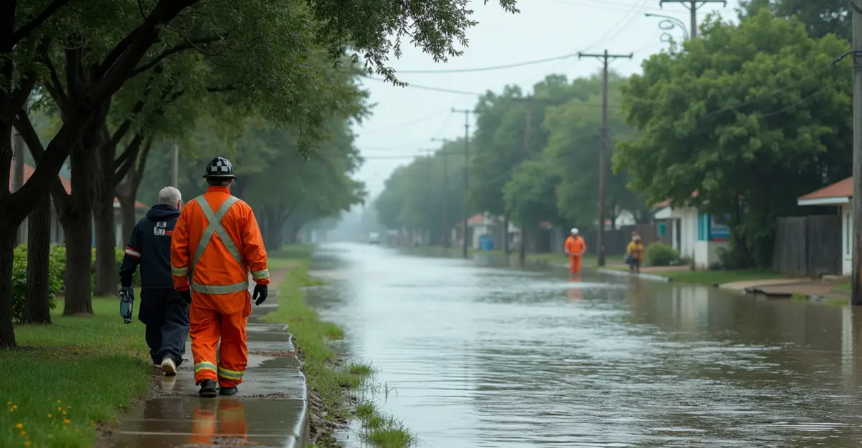
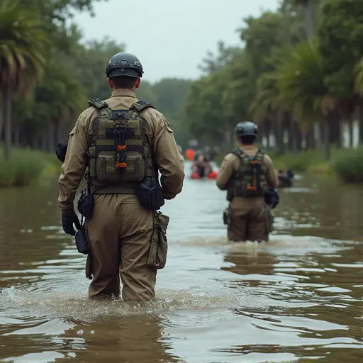
Emergency management agencies have activated hundreds of shelters across affected regions. The American Red Cross has established multiple emergency shelters providing safe overnight accommodations, meals, health services, and emotional support for displaced residents. 'Our shelters are open to anyone in need, and we're working around the clock to ensure people have a safe place to stay,' said a Red Cross spokesperson. The organization's interactive shelter map shows active locations marked with tent icons, providing real-time information for evacuees.
FEMA has deployed its Disaster Response Coordination System, with the agency's mobile app helping residents locate emergency shelters within 200 miles of their location. 'Technology is playing a crucial role in connecting people with the resources they need during this crisis,' noted a FEMA official. The app also helps users find Disaster Recovery Centers where they can apply for federal assistance and access recovery information.
Mississippi River Cities Launch New Relief Initiative
More than 100 communities along the Mississippi River have launched a new disaster relief initiative through the Mississippi River Cities and Towns Initiative (MRCTI). This coalition, representing river communities across multiple states, has partnered with nonprofit Convoy of Hope to deliver emergency assistance within 72 hours of disasters. 'Cities often lack budgets for the critical first 36-72 hours after disasters strike,' explained a MRCTI representative. 'This partnership addresses that gap by providing immediate food, water, and hygiene supplies.'
The initiative comes amid uncertainty about FEMA's future under the Trump administration, which has considered phasing out the agency. MRCTI is also supporting the FEMA Act of 2025, which would make FEMA an independent agency reporting directly to the president to speed up aid delivery.
NASA Technology Supports Flood Response
NASA has activated its Disasters Response Coordination System to support emergency response efforts. The agency is deploying advanced aerial and satellite technologies, including WB-57 aircraft with DyNAMITE high-resolution imagery for search and rescue operations, and UAVSAR radar-equipped aircraft for flood classification mapping. 'Our technologies help identify flooded urban areas, croplands, and open water, providing critical data to emergency management agencies,' said a NASA spokesperson.
The agency is sharing real-time precipitation data, landslide risk assessments, and flood extent maps through the NASA Disasters Mapping Portal. This information supports damage assessment, response planning, and recovery efforts across affected river basins including the Guadalupe, San Gabriel, and Colorado rivers.
Long-Term Recovery Challenges Ahead
Emergency officials warn that the recovery process will be lengthy and complex. Missouri alone has suffered over $2 billion in losses since March from tornadoes and other disasters, highlighting the cumulative impact of multiple weather events. 'The immediate emergency response is just the beginning,' said an emergency management director. 'We're looking at months, possibly years, of recovery work ahead.'
Flood management experts emphasize that both structural and non-structural approaches are needed for comprehensive flood risk management. Structural methods include reservoirs, levees, and flood walls, while non-structural approaches involve land-use planning, advanced warning systems, and flood insurance programs.
As climate change increases flood risk and intensity, communities are recognizing the importance of building resilience against future events. The MRCTI has announced a new water monitoring dashboard to help communities better prepare for and respond to flooding incidents.
Community Response and Support
Local communities have mobilized volunteers and resources to support evacuation and shelter operations. Churches, schools, and community centers have been converted into temporary shelters, with volunteers providing meals, clothing, and emotional support to displaced families. 'The community response has been incredible,' said a local emergency coordinator. 'People are coming together to help their neighbors in this time of crisis.'
Disaster relief organizations continue to coordinate efforts across multiple states, with the situation remaining fluid as river levels fluctuate and additional rainfall is forecast. Emergency officials urge residents in flood-prone areas to remain vigilant and follow evacuation orders when issued.


Follow Discussion