 Nederlands
 English
 French
 Deutsch
 Espaniol
 Portugese
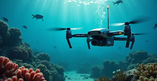
Robotic Revolution in Ocean Conservation
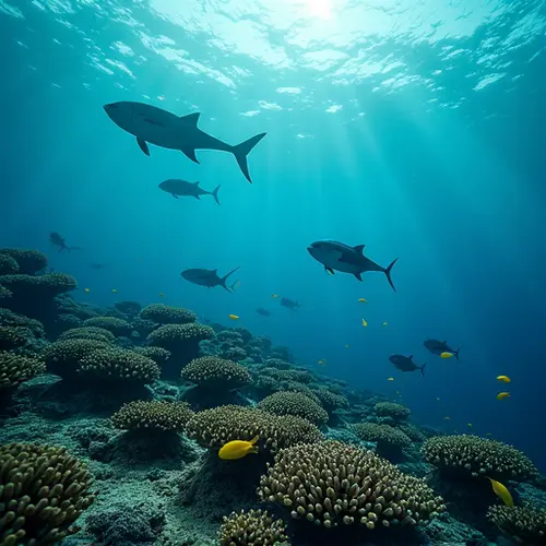
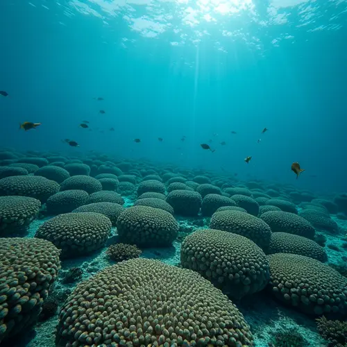
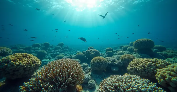
Autonomous underwater vehicles (AUVs) are transforming marine conservation by creating detailed 3D maps of endangered coral reefs. These robotic drones navigate complex underwater terrain using advanced sensors and AI, capturing high-resolution imagery impossible for human divers to obtain. The MEDUSA 'dual robot' system can fly above water before deploying its underwater pod to depths of 10 meters, collecting vital data on reef health.
How the Technology Works
Equipped with multibeam sonar and hyperspectral cameras, these drones document reef structures with centimeter-level accuracy. The RangerBot developed by Queensland University of Technology uses machine learning to identify coral predators like crown-of-thorns starfish. Meanwhile, the Deep Trekker PHOTON captures 4K video for detailed health assessments. Marine Biodiversity Science Center reports these innovations provide 40% faster surveys than traditional methods.
2025 Conservation Breakthroughs
This year, drones helped identify 17 previously unknown reef systems in the Caribbean. In Australia's Great Barrier Reef, autonomous vehicles tracked coral recovery after bleaching events. "Our drones detected 23% more surviving coral colonies than diver surveys," says Dr. Elena Torres of Ocean Conservation International. The data guides Cleaner Seas restoration projects planting climate-resistant coral fragments.
Global Impact and Challenges
With coral reefs supporting 25% of marine species despite covering less than 1% of ocean floors, these maps are vital. Recent surveys revealed:
- 42% of Atlantic reefs show recovery signs
- pH level improvements in 67 monitored sites
- Illegal fishing reduced by 31% in drone-patrolled zones
However, challenges remain. Deep reefs below 40 meters remain difficult to map, and strong currents can disrupt drone operations. Regulatory hurdles also complicate international waters deployments.
Future Innovations
Next-generation 'swarm robotics' will deploy dozens of coordinated micro-drones. The ProteusDrone project is developing shape-shifting AUVs that adapt to different reef structures. NASA is testing satellite-AUV networks that will create real-time reef health dashboards by 2028.